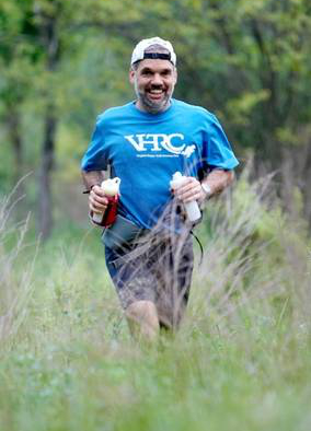
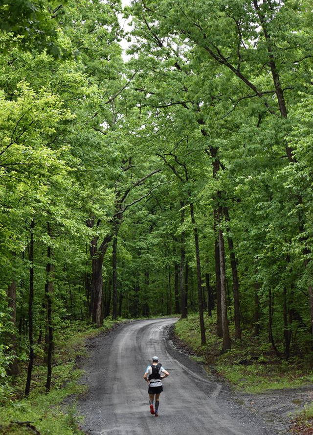
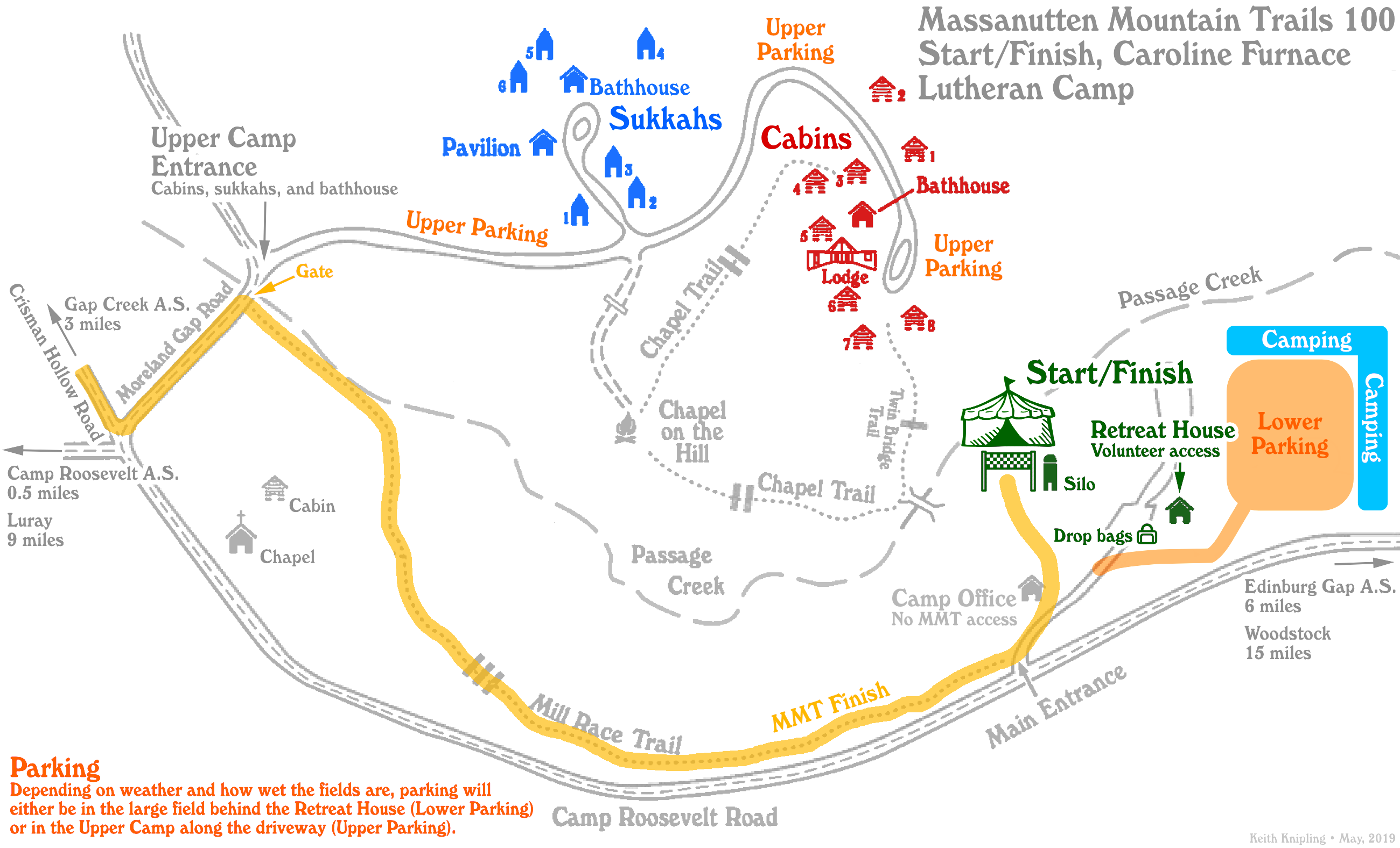
Course Description
Start to Aid Station 1
4.1 miles • 4.1 miles cumulative
From the start, leave the camp and go 0.8 miles out SR 675 (Camp Roosevelt Road). Then make a right on SR 730 (Moreland Gap Road) and go 3.2 miles to Aid Station 1, Moreland Gap.
Aid Station 1 to Aid Station 2
8.1 miles • 12.1 miles cumulative
Leave Aid Station 1, Moreland Gap, for 1.0 miles on orange-blazed Massanutten Trail. After a mile, cross FDR 374 and then begin ascent traverse of Short Mountain for 6.7 miles. Join FDR 374 and continue on orange dirt road for 0.4 miles to Aid Station 2, Edinburg Gap.
Aid Station 2 to Aid Station 3
8.2 miles • 20.3 miles cumulative
Cross SR 675 then stay to the left (do not take the ATV road) and follow orange blazes for 8.2 miles to Woodstock Tower, Aid Station 3.
Aid Station 3 to Aid Station 4
5.6 miles • 25.8 miles cumulative

Continue on orange Massanutten Trail after Aid Station 3 for 4.6 miles. Turn right on orange at junction with blue. Continue downhill for 0.5 miles, turning left on orange-blazed dirt road for 0.5 miles and veer left from road to Aid Station 4, Powell’s Fort Camp.
Aid Station 4 to Aid Station 5
7.5 miles • 33.3 miles cumulative
Continue straight from aid station and turn left on orange blazed dirt road for 1.9 miles. Turn left on orange trail for 0.9 miles to junction with blue trail. Turn right on blue and go uphill for 0.8 miles to ridge, then downhill on blue for 3.9 miles to SR 678 (Fort Valley Road). Stay on blue (it will merge with orange at a right turn near the end of this stretch)! Cross SR 678, turn right into the parking lot, proceed on road and cross bridge, and immediately turn left on blue-orange trail with Aid Station 5, Elizabeth Furnace, on your right in a shelter.
Aid Station 5 to Aid Station 6
4.7 miles • 38.0 miles cumulative
Leave Aid Station 5 on blue-orange-blazed trail, parallel to Passage Creek. It is 2.3 miles on blue-orange-blazed trail to Shawl Gap with orange, yellow and blue blazes at the gap. Cross the saddle and change from blue-orange to yellow and run downhill on yellow. Turn right in 0.5 miles and continue 1.9 miles on yellow to Aid Station 6, Shawl Gap.
Aid Station 6 to Aid Station 7
3.1 miles • 41.1 miles cumulative
Turn right on SR 613 (Panhandle Road) and run 3.1 miles to Aid Station 7, Veach Gap Trailhead. Turn right into Aid Station 7. Do not follow blue blazes down the road.
Aid Station 7 to Aid Station 8
9.0 miles • 50.1 miles cumulative
Leave Aid Station 7 on blue blazes for 1.7 miles. Turn left at ridge on orange. Run 4.8 miles to junction with purple blazed trail. Turn left on purple and run 2.5 miles to Aid Station 8, Indian Grave Trailhead.
Aid Station 8 to Aid Station 9
3.9 miles • 54.0 miles cumulative
Turn right on SR 717 (Page Valley Road) and run 2.9 miles to SR 684 (South Page Valley Road). Bear right at junction, then 1.0 mile to Aid Station 9, Habron Gap Trailhead.
Aid Station 9 to Aid Station 10
9.9 miles • 63.9 miles cumulative
Leave the aid station on blue blaze Habron Gap Trail, and climb for 2.1 miles. Make a hard left at the ridge onto orange-blazed Massanutten Trail. Run 2.7 miles to start of yellow-blazed Stephens Trail. Turn right on yellow for 4.7 miles to Aid Station 10 at Camp Roosevelt.
Aid Station 10 to Aid Station 11
5.7 miles • 69.6 miles cumulative
Cross SR 675 and run Massanutten Trail on orange for 3.3 miles to junction with blue-blazed Gap Creek Trail. (This section is known as the Duncan Hollow Trail to some old timers). Leave the Massanutten Trail and turn right on blue, uphill 0.8 miles and then 1.5 miles downhill to Aid Station 11, Gap Creek Trailhead.
Aid Station 11 to Aid Station 12
8.5 miles • 78.1 miles cumulative
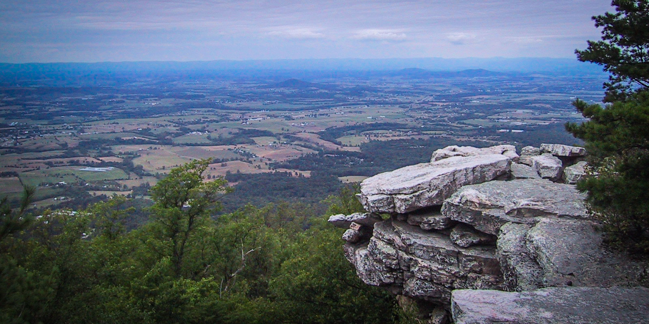
Cross FDR 274 (Crisman Hollow Road) and continue on blue Jawbone Gap Trail for 1.3 miles to ridge saddle and intersection with Massanutten Trail. Take a left on orange-blazed Massanutten Trail and run along rocky crest of Kerns Mountain for a long 4.8 miles. There is a nice view to the west, Q’s View, 1.1 miles before the end of this section. Trail turns left and descends to Crisman Hollow Road (FDR 274). Turn right on dirt road for 0.7 miles and then continue straight for 1.7 miles on asphalt, cross US 211, turn left to Aid Station 12, the Visitor Center.
Aid Station 12 to Aid Station 13
3.5 miles • 81.6 miles cumulative
From the Visitor Center take white-blazed Wildflower Trail for 0.3 miles. At trail intersection, make a right on orange-blazed Massanutten South Trail for the climb up Bird Knob. Stay on orange for a total of 3.1 miles. Be alert for a left turn (at a wooden post, 1.85 miles from turn off Wildflower) to stay on orange (do not follow white blazed Bird Knob trail), then continue to end of double track (“Ant Road”) at a gate, location of the Bird Knob Aid Station.
Aid Station 13 to Aid Station 14
6.4 miles • 87.9 miles cumulative
Leave the Bird Knob Aid Station on gravel orange-blazed Big Mountain Road for 0.85 miles. After the first small climb, look for wooden post at trailhead on left and turn left onto purple- blazed Roaring Run Trail. Follow for 1.0 mile up and then down to Browns Hollow Run Trail (be alert for this trail junction — if you cross any stream, wet or dry, you have gone too far downhill). Take a left on pink-blazed Browns Hollow Run Trail and follow 4.4 miles to Aid Station 14, the Picnic Area.
Aid Station 14 to 211 East
1.7 miles • 89.6 miles cumulative
Proceed east on orange trail for 1.7 miles to US 211 East where you can meet your crew but which is not an aid station.
211 East to Aid Station 15
6.9 miles • 96.8 miles cumulative
Carefully cross US 211, pass through gate, and enter white-blazed Massanutten Connector Trail. Follow dirt road for 1.1 miles, then take a left on singletrack trail for 0.7 miles. At trail intersection, go right on orange-blazed Massanutten Trail for 2.0 miles (mostly uphill) to fourway trail intersection. Make a left onto yellow-blazed Scothorn Gap Trail and go 1.4 miles to Scothorn Gap Trailhead. Take a right on unblazed Crisman Hollow Road (FDR 274) for 1.7 miles to Gap Creek. is at the same location as Aid Station 11, but you enter from a different direction.
Aid Station 15 to Finish
3.8 miles • 100.6 miles cumulative
Leave aid station and continue on Crisman Hollow Road (FDR 274) for 3.0 miles to the intersection of SR 675 and SR 730. Turn left and follow SR 730 for 0.1 miles to a gate. Take a right at the gate, enter the Caroline Furnace Lutheran Camp property and follow the level Mill Race Trail 0.7 miles to the finish.
Last updated February 22, 2020