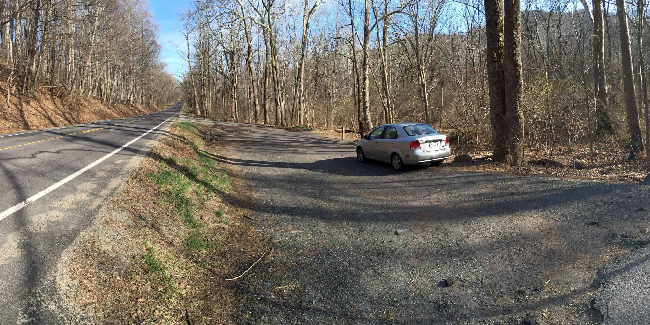
Buck Hollow Trailhead
The Buck Hollow area is popular because the trailhead is low in the valley yet close to some significant vistas (Mary’s Rock, Pinnacles, and Stony Man), making for some serious climbing potential. It’s also convenient — only 65 miles west of the Beltway.
Sort the table below by clicking on the column header. You may sort ascending or descending (just click again). Refresh the page to get the table back to its default view.
| Run name |
Distance (miles) |
Ascent (feet) |
Ascent per Mile (feet/mile) |
|---|---|---|---|
| Buck Ridge — Buck Hollow Loop | 6.3 | 1,800 | 290 |
| Mary’s Rock | 9.0 | 2,600 | 290 |
| Buck Hollow — Pass Mountain Loop | 12.3 | 3,200 | 265 |
| Cave Falls Loop | 13.9 | 3,600 | 260 |
| Buck Hollow — Hazel River — Hot Short — Hannah Run Loop | 20.2 | 5,300 | 265 |
| Buck Hollow — Cave Falls — Pass Mountain Loop | 20.5 | 5,100 | 250 |
| Buck Hollow — Nicholson Hollow Loop | 23.8 | 6,175 | 260 |
| West Virginia Loop | 29.3 | 7,500 | 260 |