Buck Hollow — Pass Mountain Loop
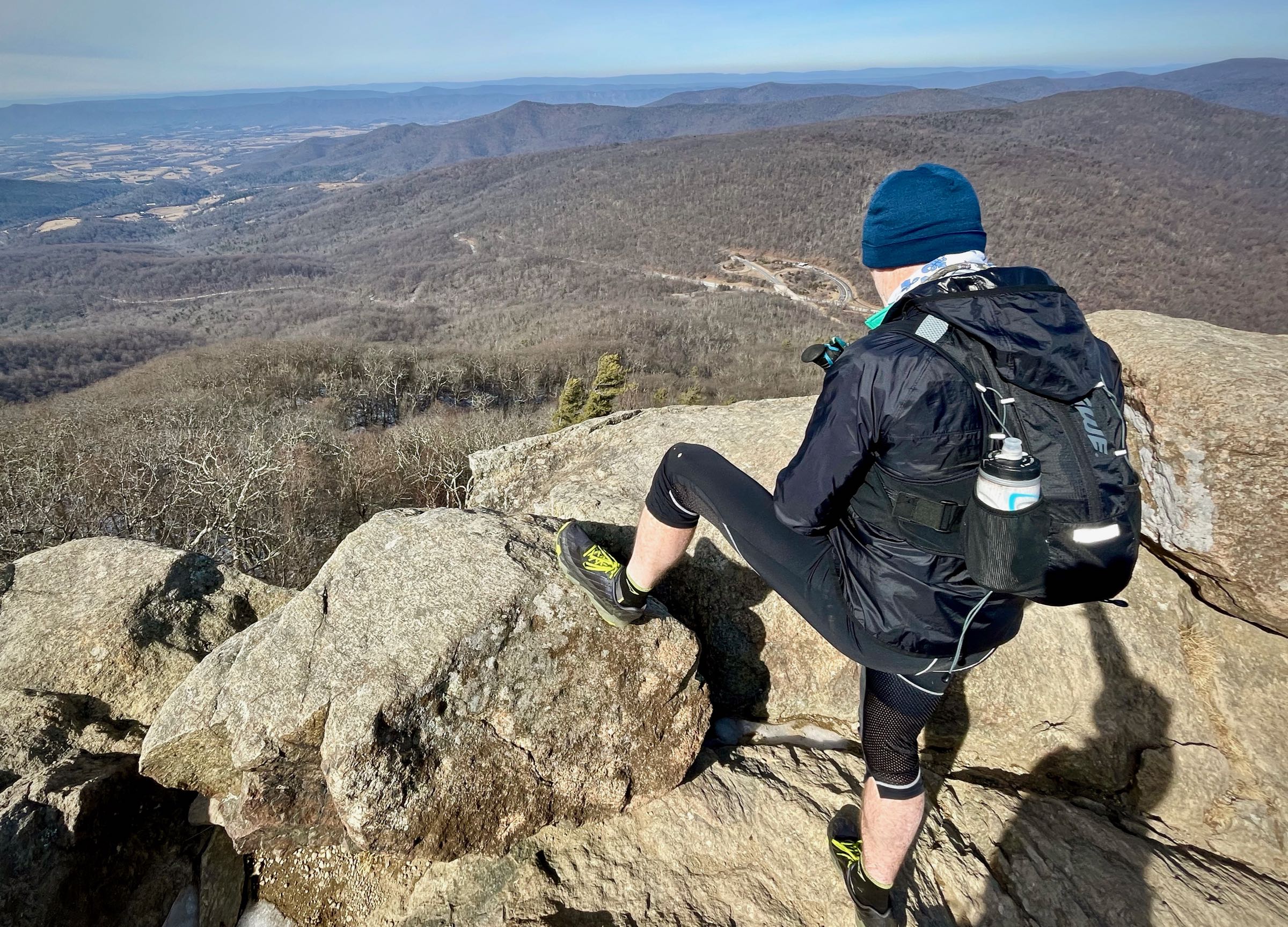
A medium-length loop that climbs to Mary’s Rock, then continues north on the Appalachian Trail across Route 211 to Pass Mountain. The highlight is Mary’s Rock, with panoramic views to the north and west. The last 4-mile descent is divine.
- Distance
-
- 12.3 miles
- Running time
-
- 2.5–4.5 hours
- Total ascent/descent
-
-
3,200 feet
265 feet/mile
-
3,200 feet
- Start/finish
- GPX file
- What to wear
Directions
From the parking area on Route 211 take the Buck Hollow Trail 0.2 miles to the intersection with the Buck Ridge Trail. Take a left onto the blue-blazed Buck Ridge Trail and begin the steep ascent. At the top of the ridge, make a right onto the yellow-blazed Hazel Mountain Trail (mile 3.0). Stay on the Hazel Mountain Trail until you reach Hazel Mountain parking area on Skyline Drive.
Cross Skyline Drive, and find the Meadow Spring Trail about 50 yards to the left. Climb the Meadow Spring Trail for 0.6 miles, passing the ruins of an old homestead, before meeting the intersection of the white blazed Appalachian Trail (AT). Turn right (north) on the AT following it for 0.8 miles before arriving at the junction of the Mary’s Rock Lookout Trail. Turn left uphill on the Mary’s Rock Lookout Trail for 0.1 miles and come to the Mary’s Rock vista.
Continue north on the AT, descending into Thornton Gap where restrooms and a snack bar are available in season. This is mile 6.8 of the run. Continue on the AT, crossing Route 211 at mile 7.2, and begin ascent up Pass Mountain. In 1.7 miles, take a right and follow signs for the Pass Mountain Shelter. Pick up the Pass Mountain Trail and descend for 2.2 miles. Turn right onto the Turn Bridge Trail and continue for 0.7 miles to Route 211. When you reach the road, make a left and run 1 mile back to your car.
Last updated January 31, 2021
What you do is up to you, but you shouldn't rely on these directions alone; they are often not specific enough to navigate by, and may be incorrect or out of date. Review a map beforehand and carry it with you. Tell a friend where you are going and when you plan to return. Do not count on having cell phone service while on the run. The VHTRC is not responsible for your welfare on any of these runs. If you go on one of these runs and get lost, run out of water, get injured, mauled by a bear, or die, or if anything else goes wrong, it's your fault; not ours. You assume all risks here and the VHTRC assumes none at all. Legal issues aside, some of these runs are more remote than others and the VHTRC is not suggesting that you do any of these runs, unless you are prepared to accept full responsibility for yourself.