Buck Hollow — Nicholson Hollow Loop
This run is similar to the Buck Hollow — Hazel River — Hot Short — Hannah Run Loop but, instead of taking the Hannah Run Trail back over to Buck Hollow, you stay on the Nicholson Hollow Trail up to the Appalachian Trail. This adds about 3.6 miles and another 875 feet of ascent.
- Distance
-
- 23.8 miles
- Running time
-
- 4–6 hours
- Total ascent/descent
-
-
6,175 feet
260 feet/mile
-
6,175 feet
- Start/finish
- GPX file
- What to wear
Directions
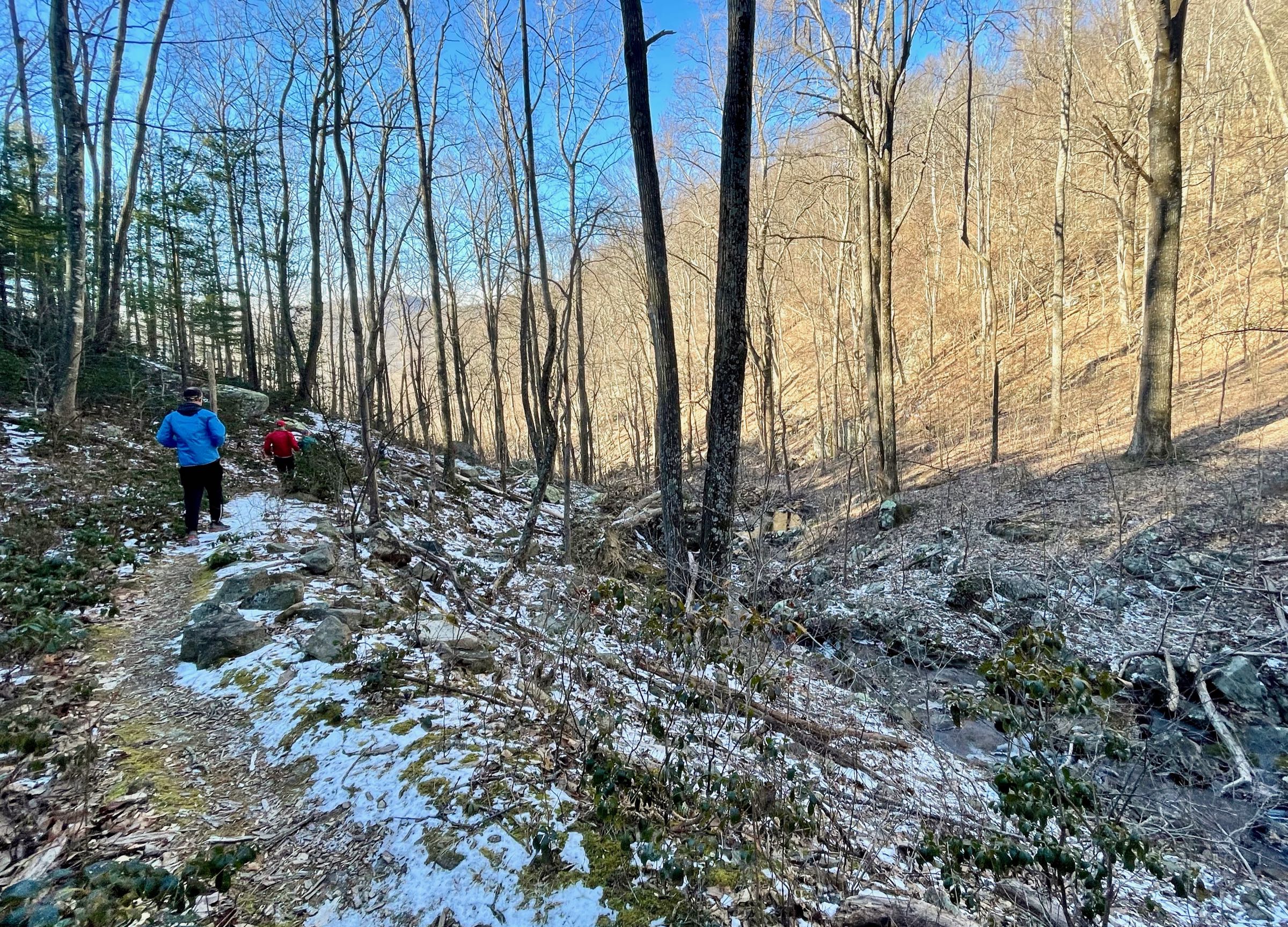
From the parking area on Route 211 take the Buck Hollow Trail 0.2 miles to the intersection with the Buck Ridge Trail. Take a left onto the blue-blazed Buck Ridge Trail and begin the steep ascent. At the top of the ridge, make a left onto the yellow-blazed Hazel Mountain Trail (mile 3.0) and in 1.1 miles make another left onto the White Rocks Trail. In 0.9 miles reach a sidetrail on your right, which descends a steep 0.2 miles down to Cave Falls. Return to the White Rocks Trail and continue for 1.2 miles, passing by White Rocks (views) before a steep descent down to the Hazel River (this is a good place to cool off or get water on a hot day).
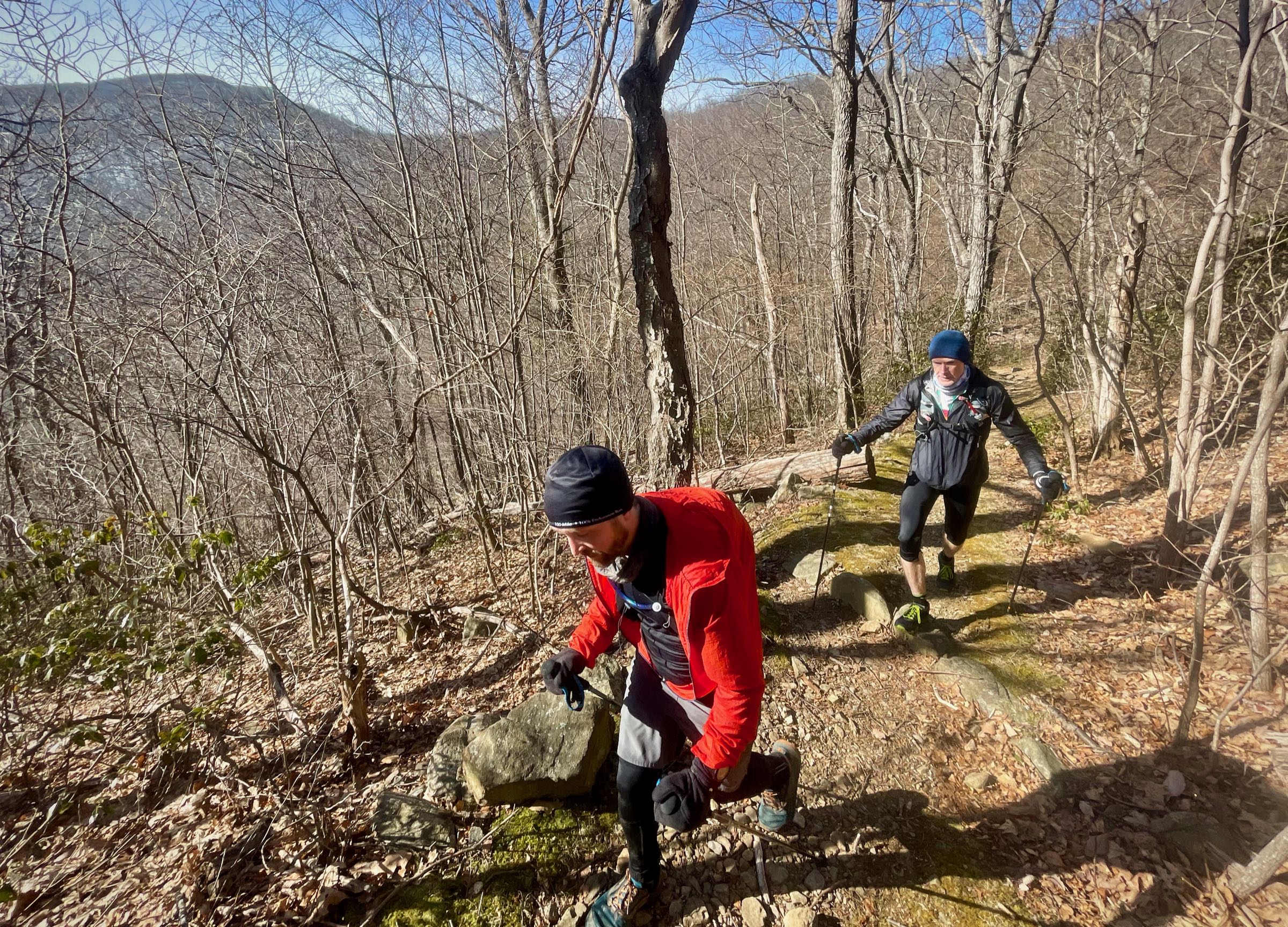
Shortly after crossing the river, make a right onto the Hazel River Trail and begin a nice gradual 2.7 mile ascent back up to the ridge. This is an old roadbed with beautiful stone work in some of the switchbacks. On top of the ridge (mile 8.1) make a left onto the yellow-blazed Hazel Mountain Trail and continue for 1.2 miles. Take a right onto the Hot Short Mountain Trail and begin 2.2 mile descent into Nicholson Hollow.
At the bottom, take a right onto the Nicholson Hollow Trail and climb for 4.1 miles, passing historic (and infamous) Corbin Cabin about halfway up the climb. Crest the ridge at Hughes River Gap, cross Skyline Drive, and head left for a few hundred feet.
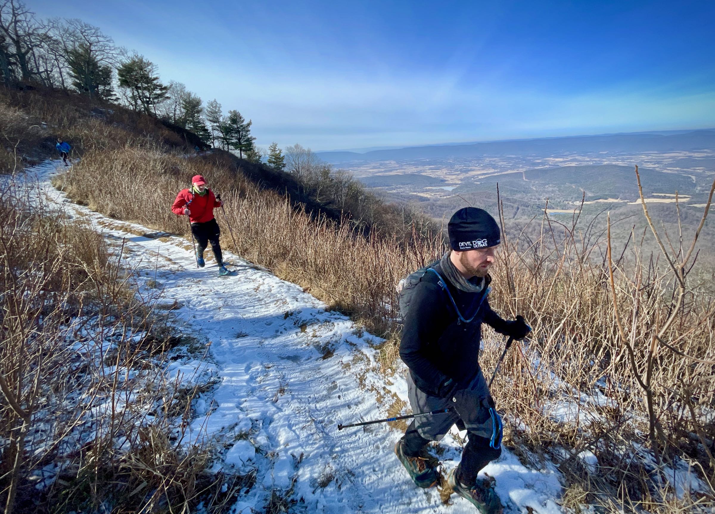
From here, the run continues north on the white-blazed Appalachian Trail (AT). At mile 17.3 pass through Pinnacle Picnic Grounds with water fountains and bathrooms. At mile 20.2, turn right onto the Meadow Spring Trail for 0.6 miles to the Hazel Mountain parking area on Skyline Drive. Cross the drive and take the blue-blazed Buck Hollow Trail back to your car.
Last updated February 1, 2021
What you do is up to you, but you shouldn't rely on these directions alone; they are often not specific enough to navigate by, and may be incorrect or out of date. Review a map beforehand and carry it with you. Tell a friend where you are going and when you plan to return. Do not count on having cell phone service while on the run. The VHTRC is not responsible for your welfare on any of these runs. If you go on one of these runs and get lost, run out of water, get injured, mauled by a bear, or die, or if anything else goes wrong, it's your fault; not ours. You assume all risks here and the VHTRC assumes none at all. Legal issues aside, some of these runs are more remote than others and the VHTRC is not suggesting that you do any of these runs, unless you are prepared to accept full responsibility for yourself.