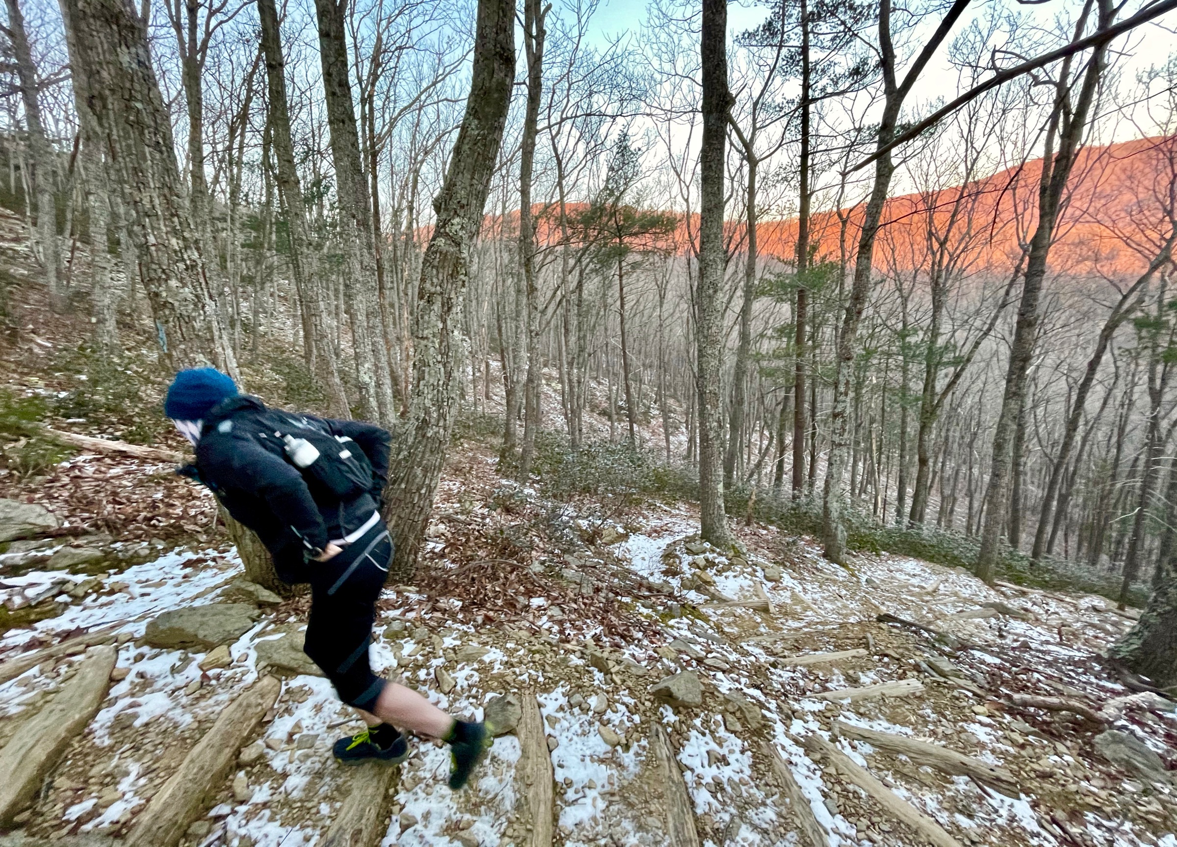
Buck Ridge — Buck Hollow Loop
A short loop, but with big, steep climbs. Simple logistics are another hallmark of this run, since aid is available at your car between loops and the trailhead is only 65 miles west of the Beltway.
- Distance
-
- 6.3 miles
- Running time
-
- 1.5–2.5 hours
- Total ascent/descent
-
-
1,800 feet
290 feet/mile
-
1,800 feet
- Start/finish
- GPX file
- What to wear
Many runners do three or more repeats of this loop as a significant hill workout.
Directions
From the parking area on Route 211 take the Buck Hollow Trail 0.2 miles to the intersection with the Buck Ridge Trail. Take a left onto the blue-blazed Buck Ridge Trail and begin the steep ascent. At the top of the ridge, make a right onto the yellow-blazed Hazel Mountain Trail (mile 3.0) and in 0.5 miles come to the Hazel Mountain parking area on Skyline Drive. From there, take the blue-blazed Buck Hollow Trail back to your car.
Last updated January 31, 2021
What you do is up to you, but you shouldn't rely on these directions alone; they are often not specific enough to navigate by, and may be incorrect or out of date. Review a map beforehand and carry it with you. Tell a friend where you are going and when you plan to return. Do not count on having cell phone service while on the run. The VHTRC is not responsible for your welfare on any of these runs. If you go on one of these runs and get lost, run out of water, get injured, mauled by a bear, or die, or if anything else goes wrong, it's your fault; not ours. You assume all risks here and the VHTRC assumes none at all. Legal issues aside, some of these runs are more remote than others and the VHTRC is not suggesting that you do any of these runs, unless you are prepared to accept full responsibility for yourself.