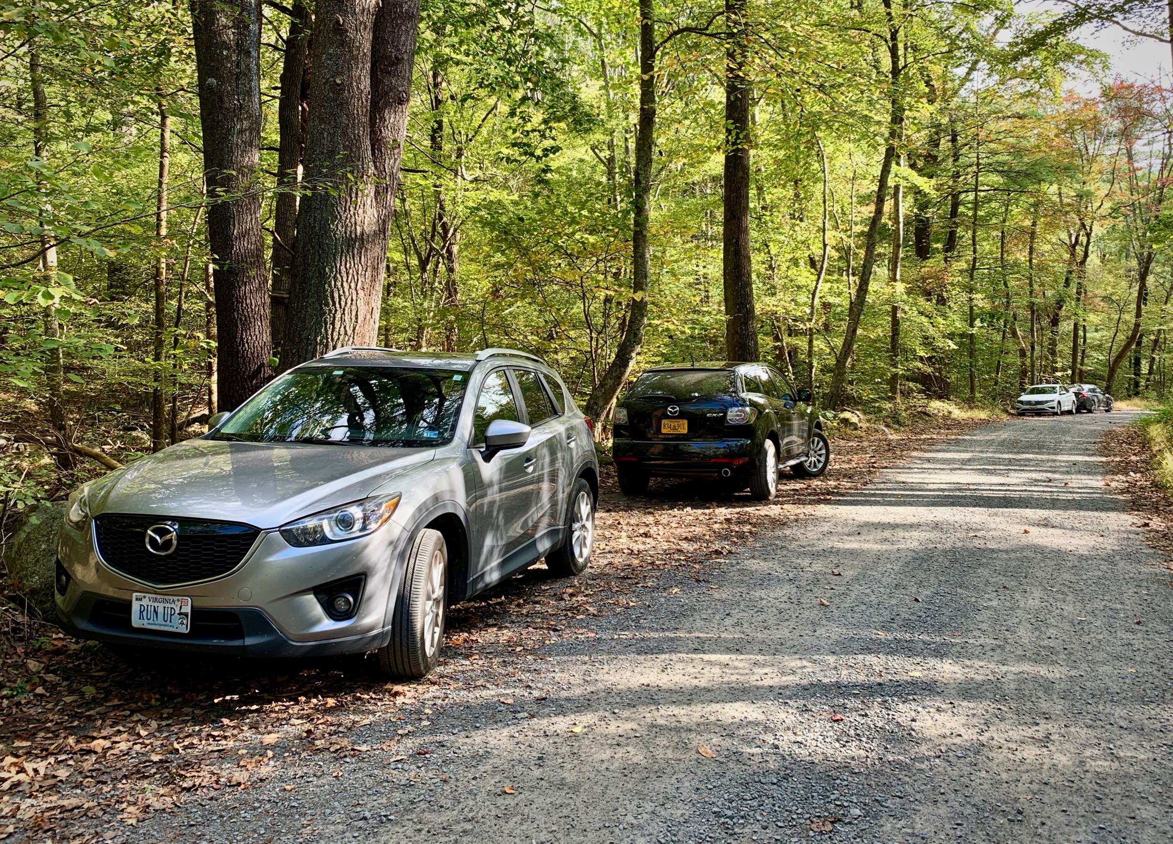
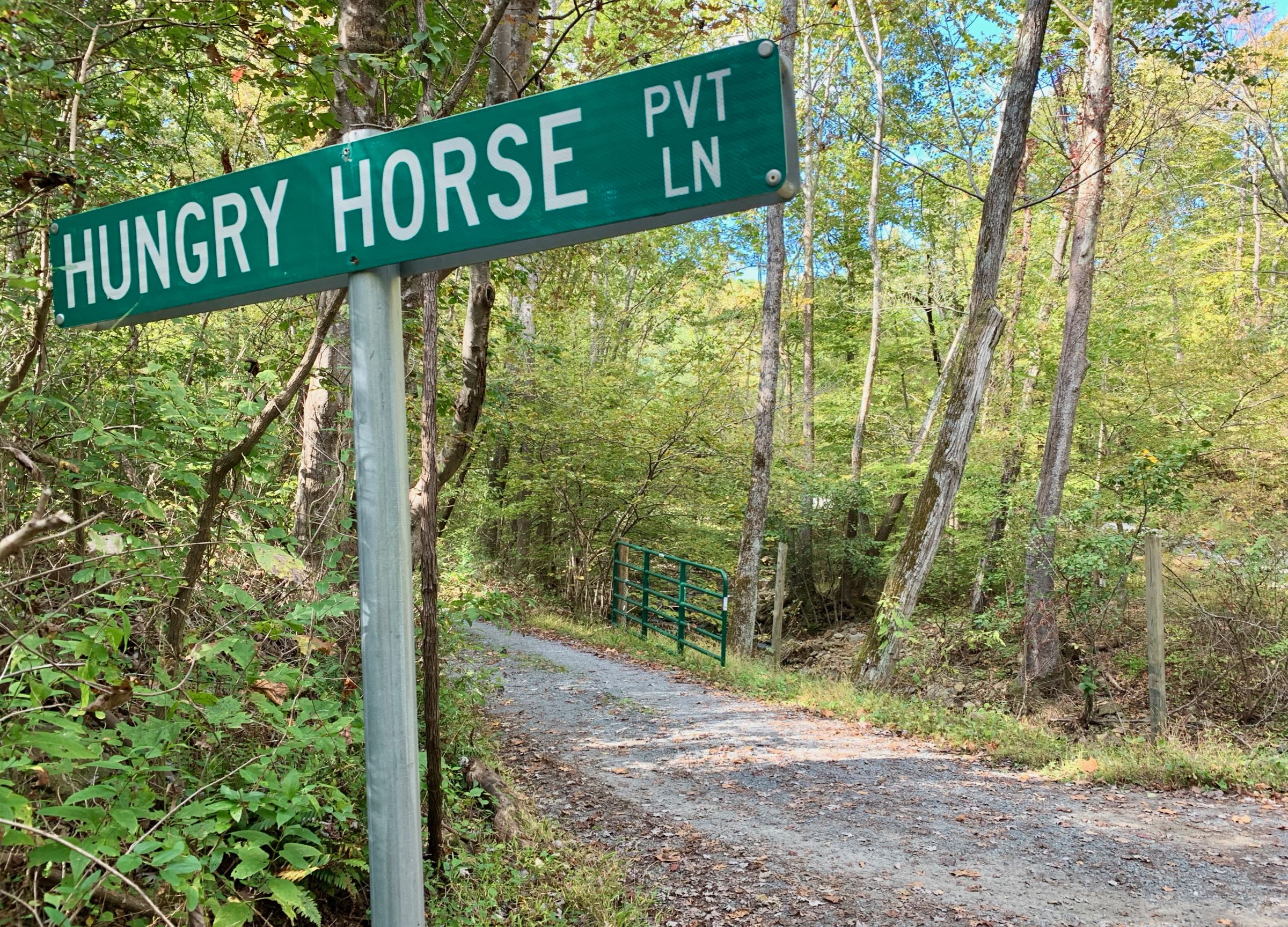
Hazel River Trailhead
The Hazel River Trailhead is at the end of Hungry Horse Lane off of Woodward Road, a few miles south of Sperryville.
Sort the table below by clicking on the column header. You may sort ascending or descending (just click again). Refresh the page to get the table back to its default view.
| Run name |
Distance (miles) |
Ascent (feet) |
Ascent per Mile (feet/mile) |
|---|---|---|---|
| Sam’s Ridge — Hazel Mountain — White Rocks — Hazel River Loop | 8.3 | 2,100 | 255 |
| Historic Hazel Loop | 12.4 | 3,300 | 270 |
| Sam’s Ridge — Broad Hollow — Pine Hill — Hot Short — Hannah Run — White Rocks Loop | 18.0 | 5,100 | 285 |
| Sam’s Ridge — Broad Hollow — Pine Hill — Hot Short — Nicholson Hollow — AT — White Rocks Loop | 25.5 | 6,300 | 250 |