Sam’s Ridge — Broad Hollow — Pine Hill — Hot Short — Nicholson Hollow — AT — White Rocks Loop
This run is similar to the spectacular Buck Hollow — Nicholson Hollow Loop but starting from the Hazel River.
- Distance
-
- 25.5 miles
- Running time
-
- 5–8 hours
- Total ascent/descent
-
-
6,300 feet
250 feet/mile
-
6,300 feet
- Start/finish
- GPX file
- What to wear
Directions
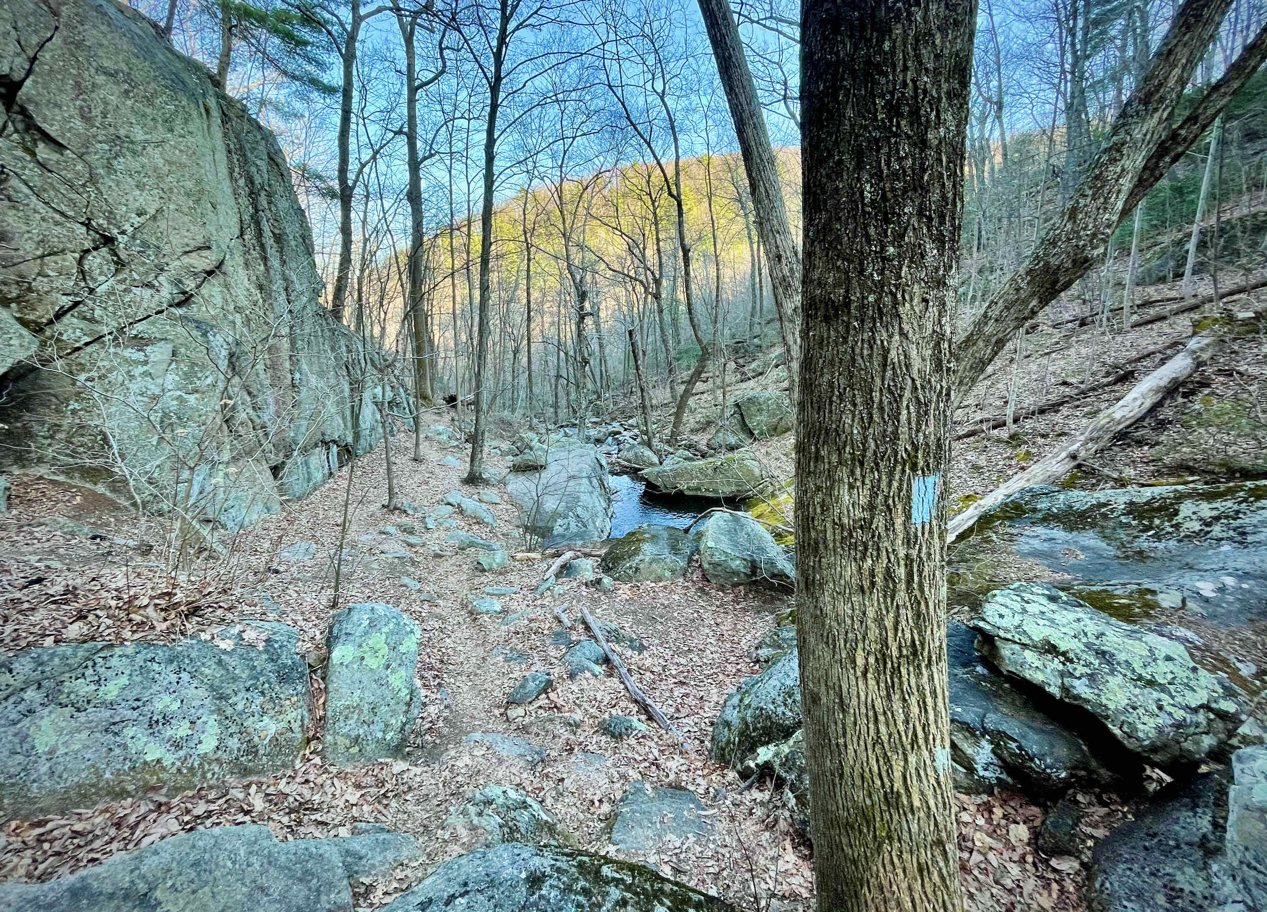
From the gate, gradually climb Hungry Horse Lane along the Hazel River for 0.3 miles. Intersect the Hazel River Trail and continue along the river for a short distance to Sam’s Ridge Trail.
Take a left onto Sam’s Ridge and begin the steep ascent, climbing nearly 1,500 feet in less than two miles. After 2.4 miles, intersect the Broad Hollow Trail and take a left. Descend down Broad Hollow for 2.2 miles, passing by an old mountain homestead about halfway down.
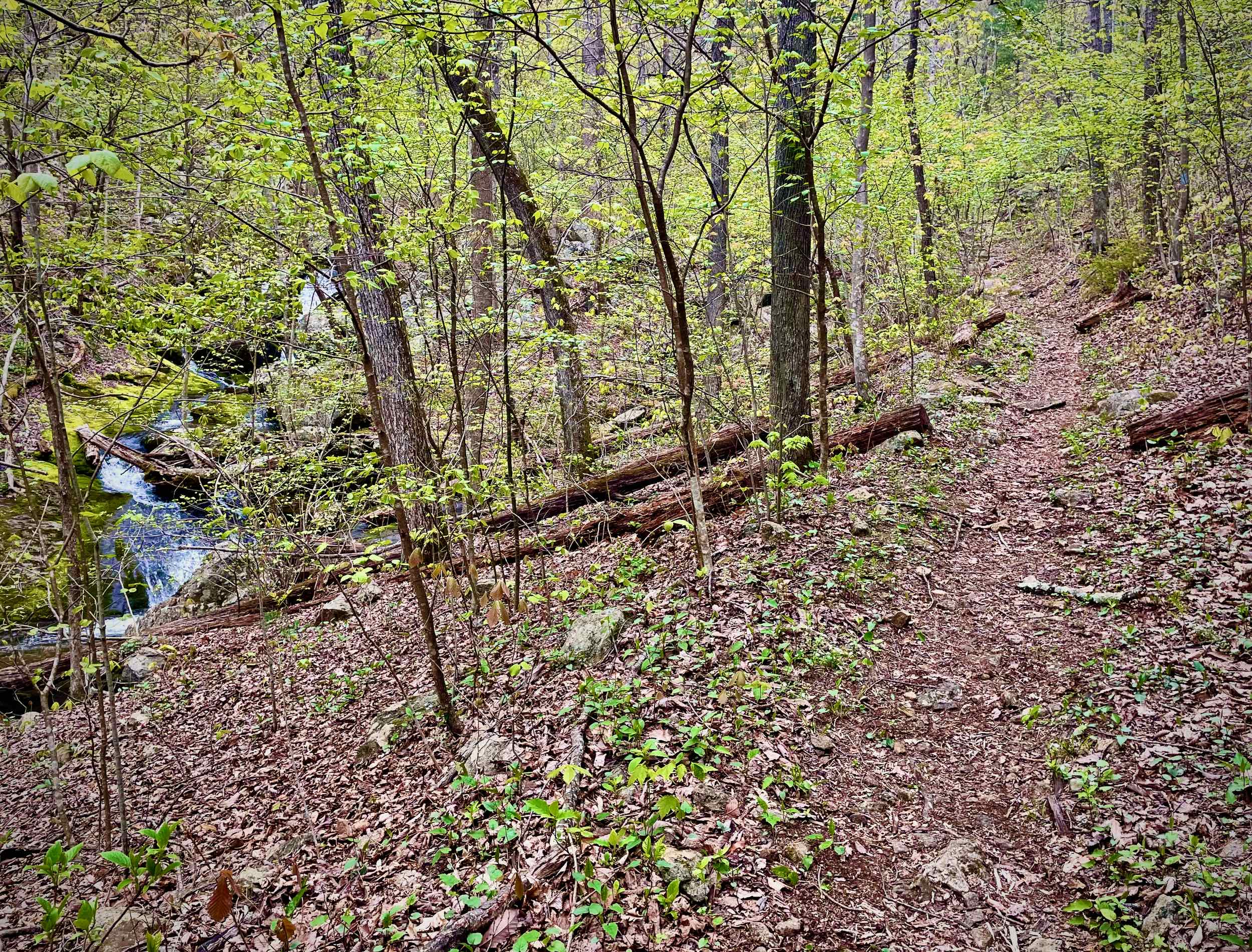
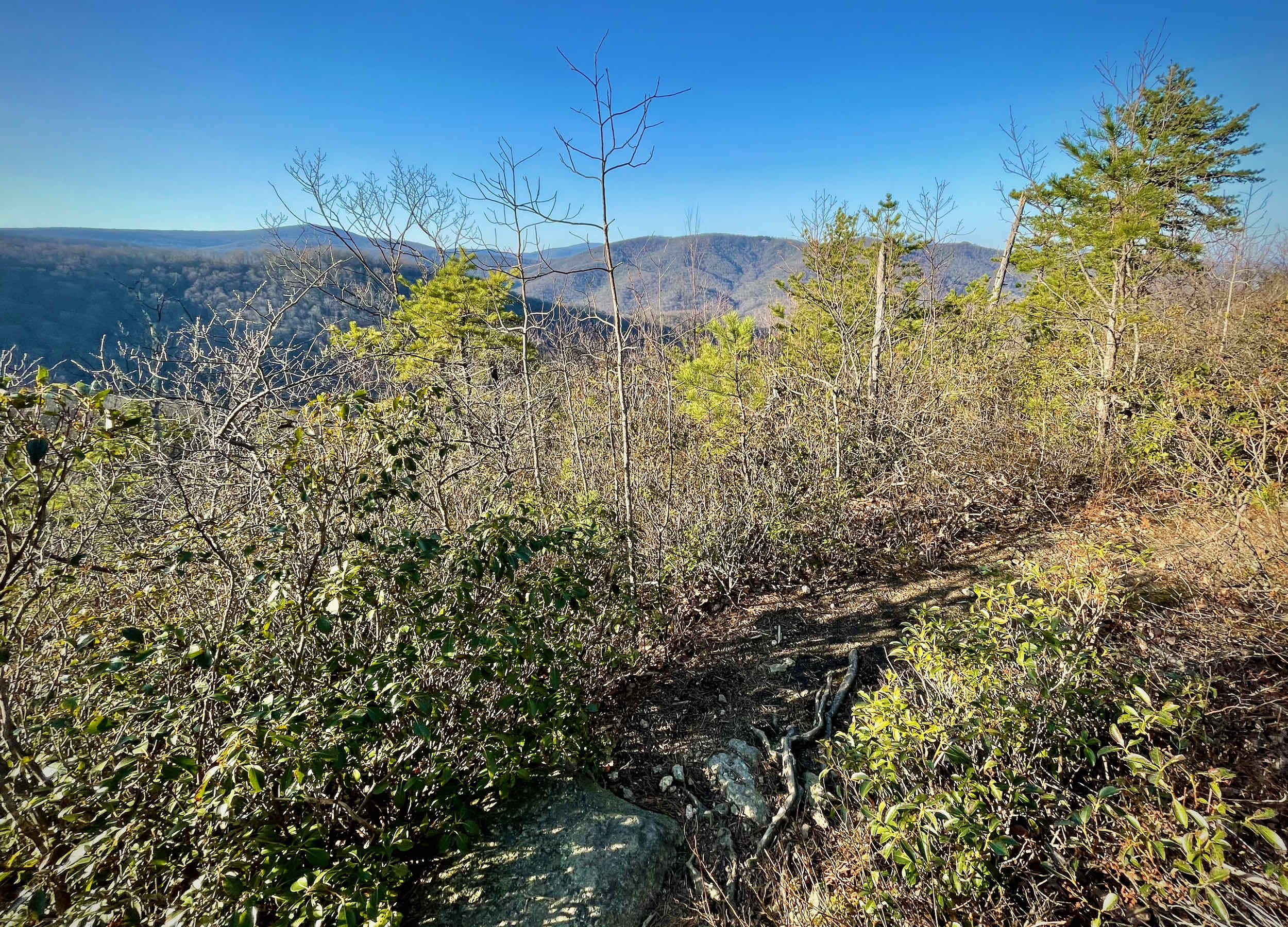
Broad Hollow ends at Rolling Road. Take a right and follow the gravel road for 0.4 miles to the Pine Hill Gap Trailhead. Take the Pine Hill Gap Trail and begin the second climb of the day. At the top of the climb, near mile 6.8, the trail becomes the Hazel Mountain Trail. Within 20 feet of the post, look for an unofficial trail off to the left to a spectacular view of Old Rag, Nicholson Hollow, and Stony Man.
Continue on the Hazel Mountain Trail for 0.35 miles to a trail intersection. Take a left onto the Hot Short Mountain Trail and begin the 2.2 mile descent into Nicholson Hollow.
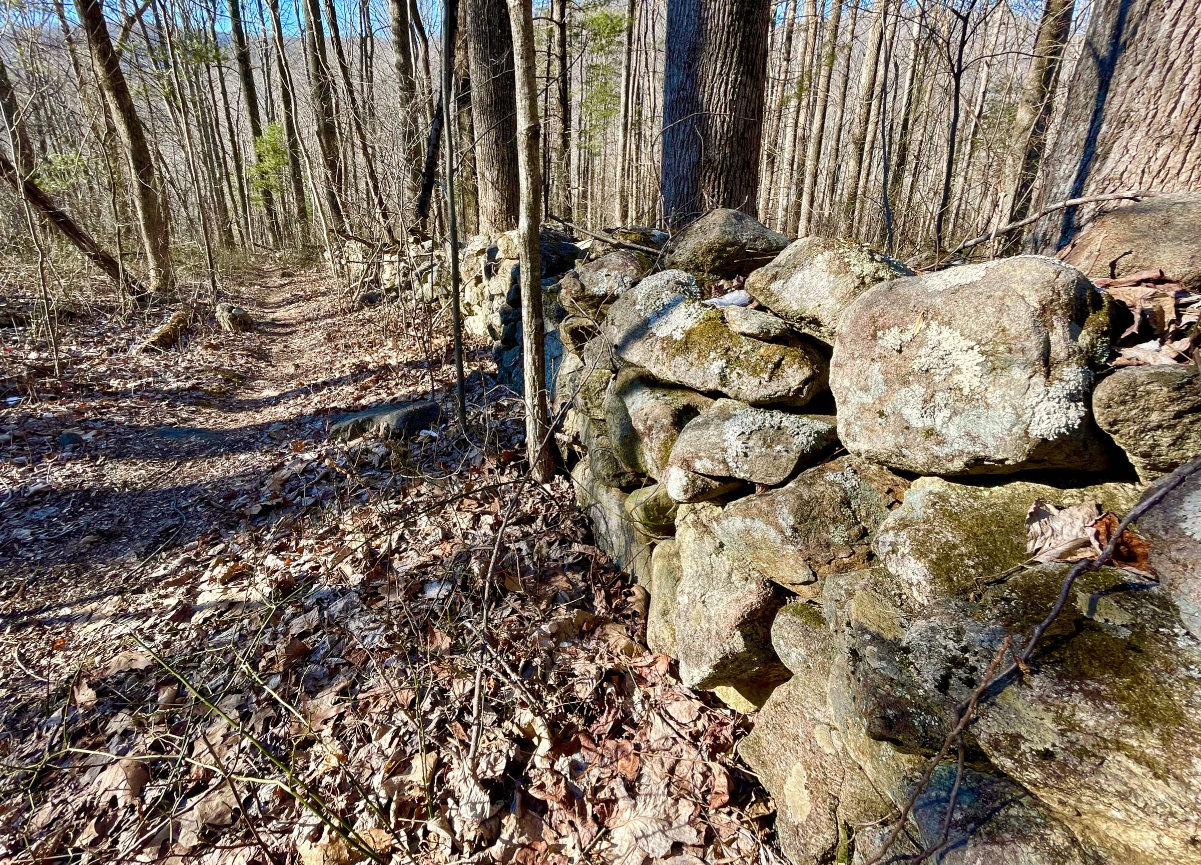
At the bottom, take a right onto the Nicholson Hollow Trail and climb for 4.1 miles, passing historic (and infamous) Corbin Cabin about halfway up the climb. Crest the ridge at Hughes River Gap, cross Skyline Drive, and head left for a few hundred feet.
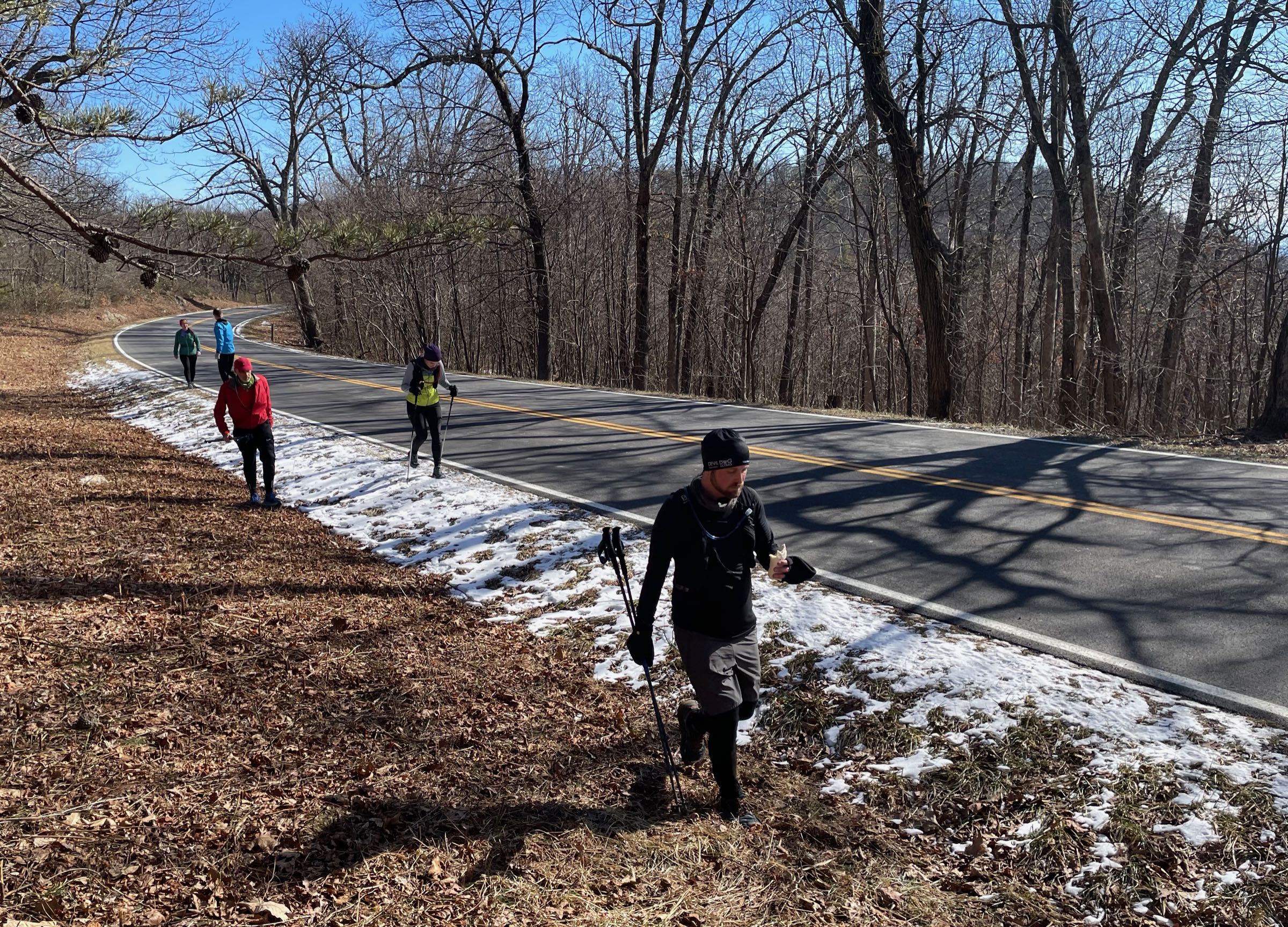
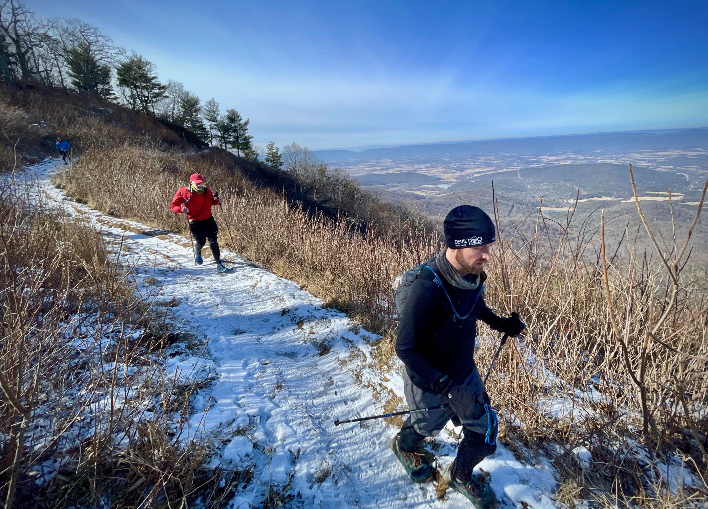
From here, the run continues north on the white-blazed Appalachian Trail (AT) for a total of 4.6 miles with spectacular views of the Massanutten Mountains and Shenandoah Valley to the West.
At mile 15.1, pass through Pinnacle Picnic Grounds with water fountains and bathrooms in season. At mile 18, turn right onto the Meadow Spring Trail for 0.6 miles to the Hazel Mountain parking area on Skyline Drive. Cross the drive and take the yellow-blazed Hazel Mountain Trail for a little more than 1.5 miles.
Take a left onto the White Rocks Trail and, in 0.9 miles, reach a side trail on your right. This optional out-and-back descends 0.2 miles down to a beautiful gorge (with excellent swimming holes in the summer) and Cave Falls.
Back at the White Rocks Trail, continue for 1.2 miles, passing by White Rocks (views, off to the left) before a steep descent down to the Hazel River.
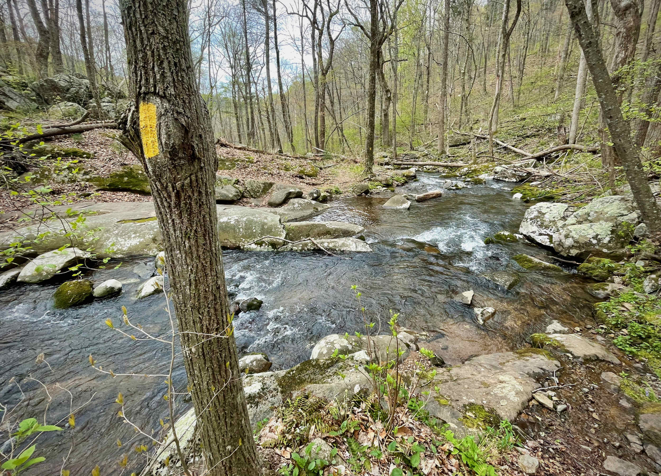
Cross the river and take the Hazel River Trail for 1.4 miles, crossing the river several more times.
At the road, it is 0.3 miles down Hungry Horse Lane back to your car.
Shorter options
You can save yourself 3.7 miles and 1,300 feet of ascent/descent by cutting out the descent down Broad Hollow and the subsequent climb up Pine Hill Gap. To do so, stay right on the Sam’s Ridge Trail at the intersection with the Broad Hollow Trail (mile 2.4) and continue for 0.2 miles. At the Hazel Mountain Trail turn left and go 1.0 miles to the Hot Short Mountain Trail. Take a right on Hot Short and continue the run from there. This option is 21.8 miles long with 5,000 feet of ascent/descent.
Last updated May 11, 2021
What you do is up to you, but you shouldn't rely on these directions alone; they are often not specific enough to navigate by, and may be incorrect or out of date. Review a map beforehand and carry it with you. Tell a friend where you are going and when you plan to return. Do not count on having cell phone service while on the run. The VHTRC is not responsible for your welfare on any of these runs. If you go on one of these runs and get lost, run out of water, get injured, mauled by a bear, or die, or if anything else goes wrong, it's your fault; not ours. You assume all risks here and the VHTRC assumes none at all. Legal issues aside, some of these runs are more remote than others and the VHTRC is not suggesting that you do any of these runs, unless you are prepared to accept full responsibility for yourself.