Sam’s Ridge — Hazel Mountain — White Rocks — Hazel River Loop
The shortest run from the Hazel River Trailhead, this loop gets the blood pumping with a steep climb followed six miles of gradual downhill, with innumerable crossings of the Hazel River along the way.
- Distance
-
- 8.3 miles
- Running time
-
- 1.5–2.5 hours
- Total ascent/descent
-
-
2,100 feet
255 feet/mile
-
2,100 feet
- Start/finish
- GPX file
- What to wear
Directions
From the gate, gradually climb Hungry Horse Lane along the Hazel River for 0.3 miles. Intersect the Hazel River Trail and continue along the river for a short distance to Sam’s Ridge Trail.
Take a left onto Sam’s Ridge and begin the steep ascent, climbing nearly 1,500 feet in less than two miles. After 2.4 miles, intersect the Broad Hollow Trail and take a right for a short distance to the Hazel Mountain Trail and follow for nearly 1.5 miles to the intersection with the White Rocks Trail.
At the White Rocks Trail, take a right and, in 0.9 miles, reach a side trail on your right. This optional out-and-back descends 0.2 miles down to a beautiful gorge (with excellent swimming holes in the summer) and Cave Falls.
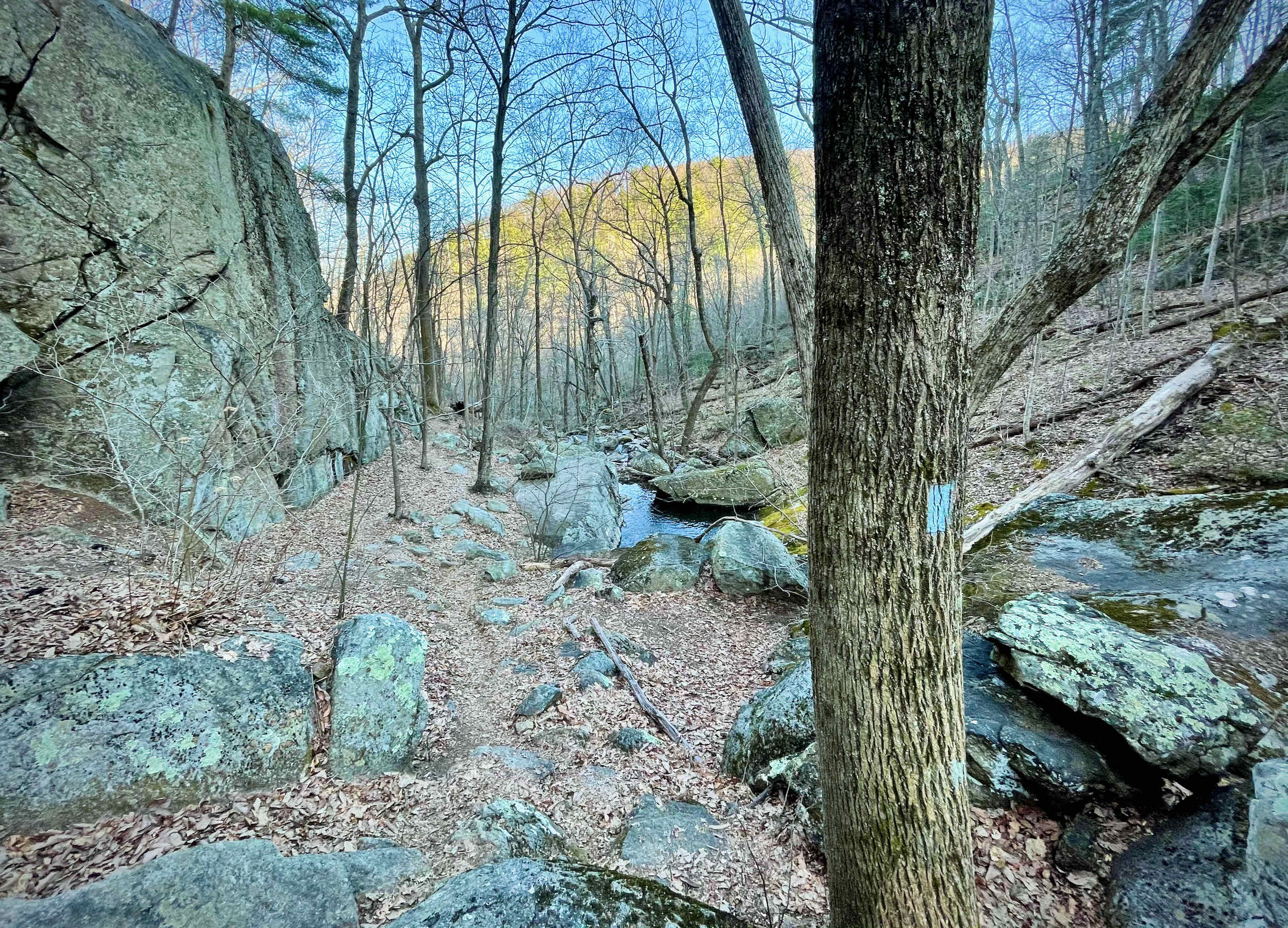
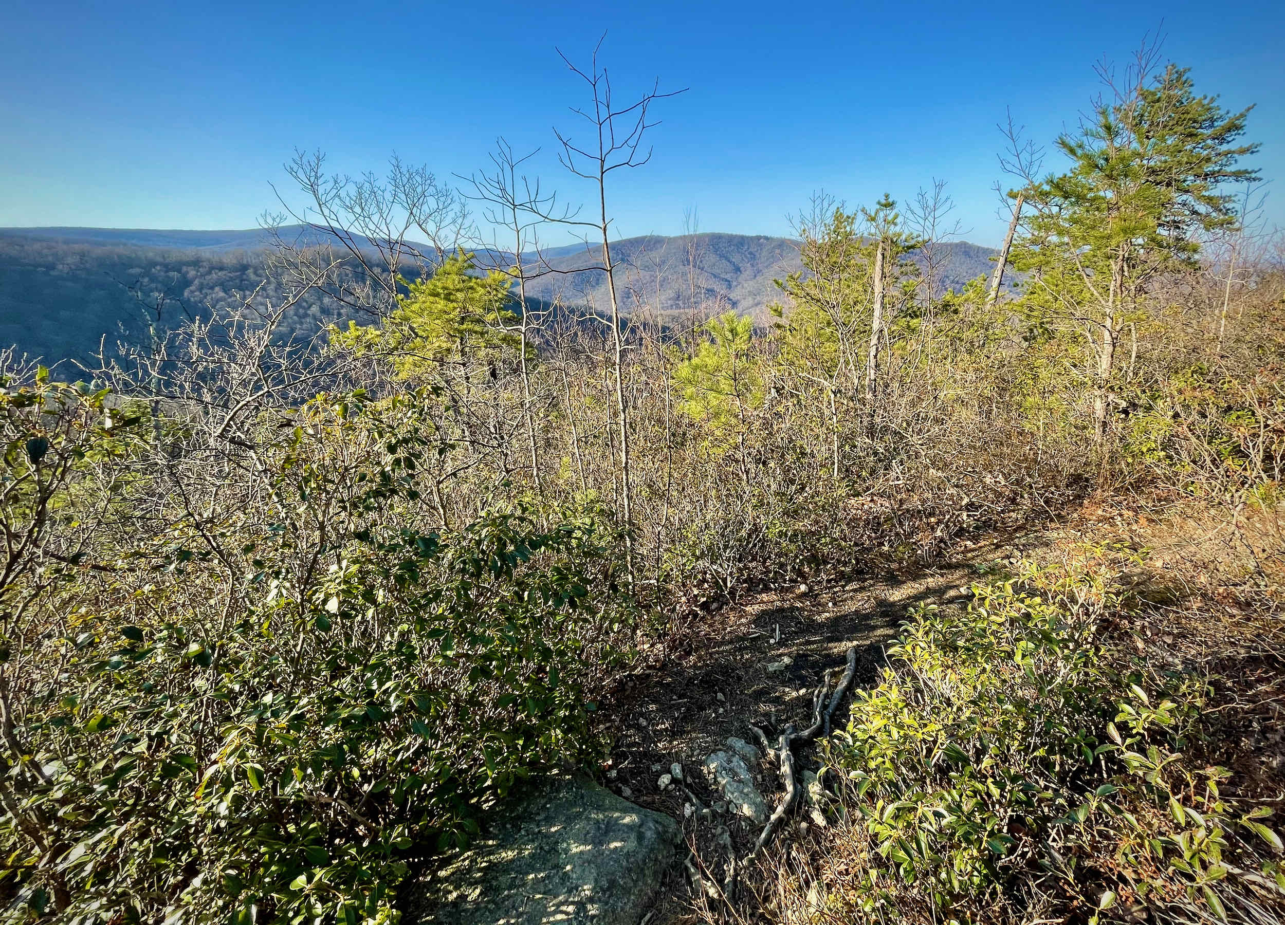
Back at the White Rocks Trail, continue for 1.2 miles, passing by White Rocks (views, off to the left) before a steep descent down to the Hazel River.
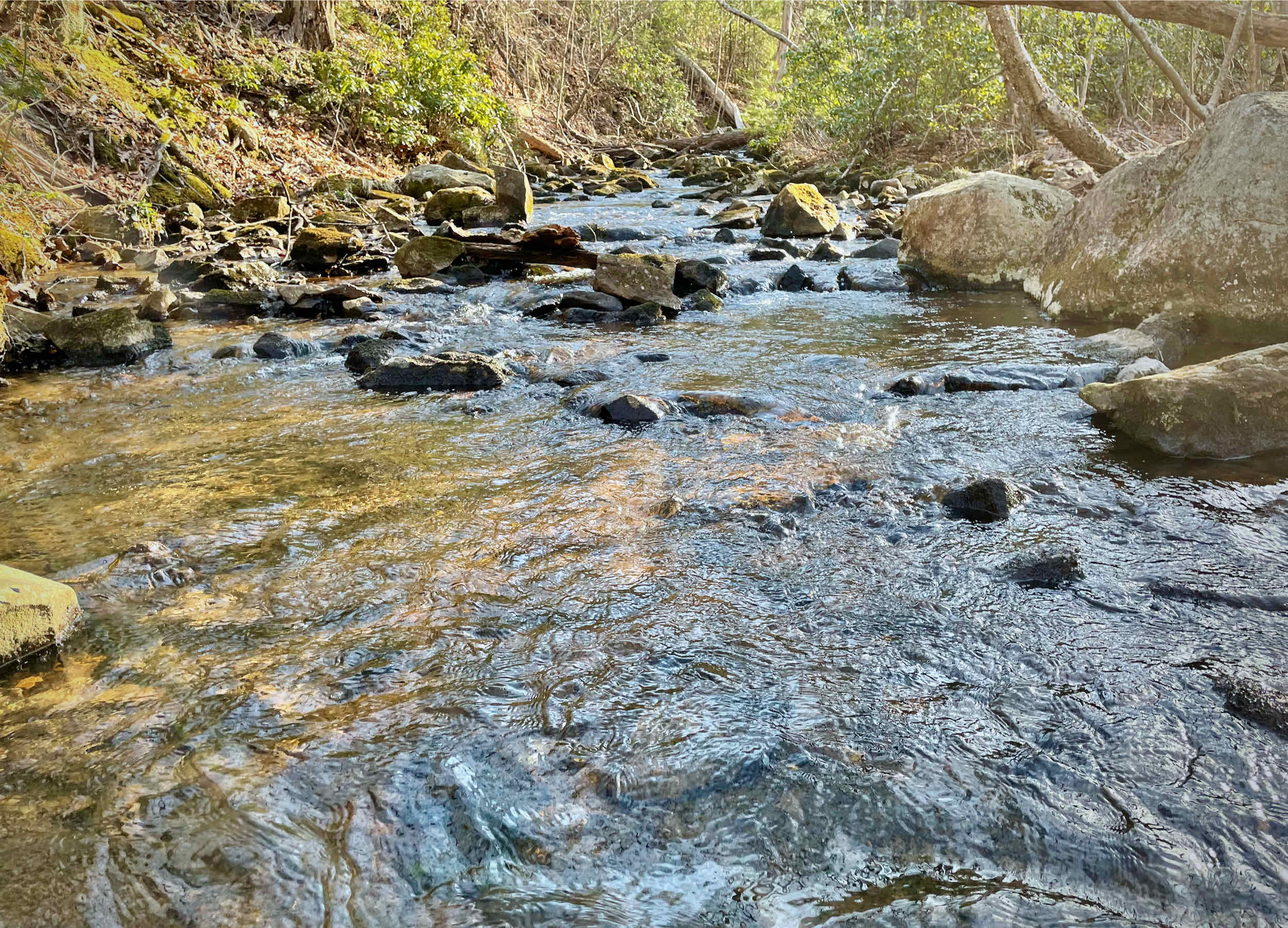
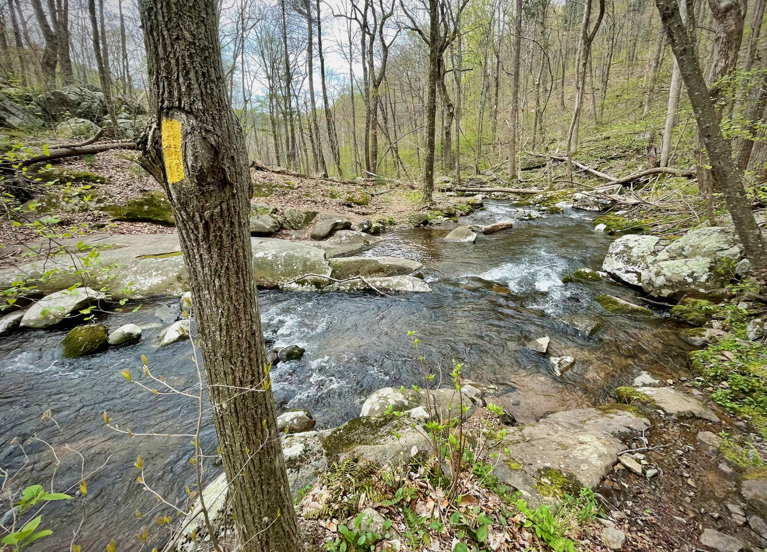
Cross the river and take the Hazel River Trail for 1.4 miles, crossing the river several more times.
At the road, it is 0.3 miles down Hungry Horse Lane back to your car.
Last updated May 11, 2021
What you do is up to you, but you shouldn't rely on these directions alone; they are often not specific enough to navigate by, and may be incorrect or out of date. Review a map beforehand and carry it with you. Tell a friend where you are going and when you plan to return. Do not count on having cell phone service while on the run. The VHTRC is not responsible for your welfare on any of these runs. If you go on one of these runs and get lost, run out of water, get injured, mauled by a bear, or die, or if anything else goes wrong, it's your fault; not ours. You assume all risks here and the VHTRC assumes none at all. Legal issues aside, some of these runs are more remote than others and the VHTRC is not suggesting that you do any of these runs, unless you are prepared to accept full responsibility for yourself.