Rose River to Hawksbill
This lollipop ascends the Rose River Fire Road to the Appalachian Trail and a short distance north to Hawksbill, the highest peak in Shenandoah National Park. The route returns through a remote part of the park on the Skyland-Big Meadows Horse Trail to the beautiful Rose River Trail, followed by a five mile descent on the Rose River Fire Road.
- Distance
-
- 21.6 miles
- Running time
-
- 4–6 hours
- Total ascent/descent
-
-
4,000 feet
190 feet/mile
-
4,000 feet
- Start/finish
- GPX file
- Print or download
- What to wear
Directions
From the Rose River Trailhead climb the Rose River Fire Road. This is the remnant of the Blue Ridge Turnpike built in the 1850s to connect farms of the Shenandoah Valley to the railroads in the east. After 1.45 miles, pass the Upper Dark Hollow Trail coming in from the left. Stay on the fire road and continue the climb on broad switchbacks. After 4.7 miles, pass the Stony Mountain Trail to the left. Again, stay on the fire road. At 5.6 miles, arrive at Dark Hollow Falls and the intersection with the Rose River Trail (you will return here at the end of the run).
Stay on the Rose River Fire Road and ascend for 1 mile to Fishers Gap. Cross Skyline Drive and pick up the Appalachian Trail (AT). Take a right and head north on the AT for 2.2 miles to the Salamander Trail. Take a right and begin the climb up Hawksbill.
In 0.7 miles “T” in a fire road, the Upper Hawksbill Trail. Make a left for the final push to the summit, reached in 0.2 miles. After taking in the view, retrace your steps and descend on the Upper Hawksbill Trail for 1 mile to Skyline Drive. Bear right at the drive and look for the Skyland-Big Meadows Horse Trail across the road.
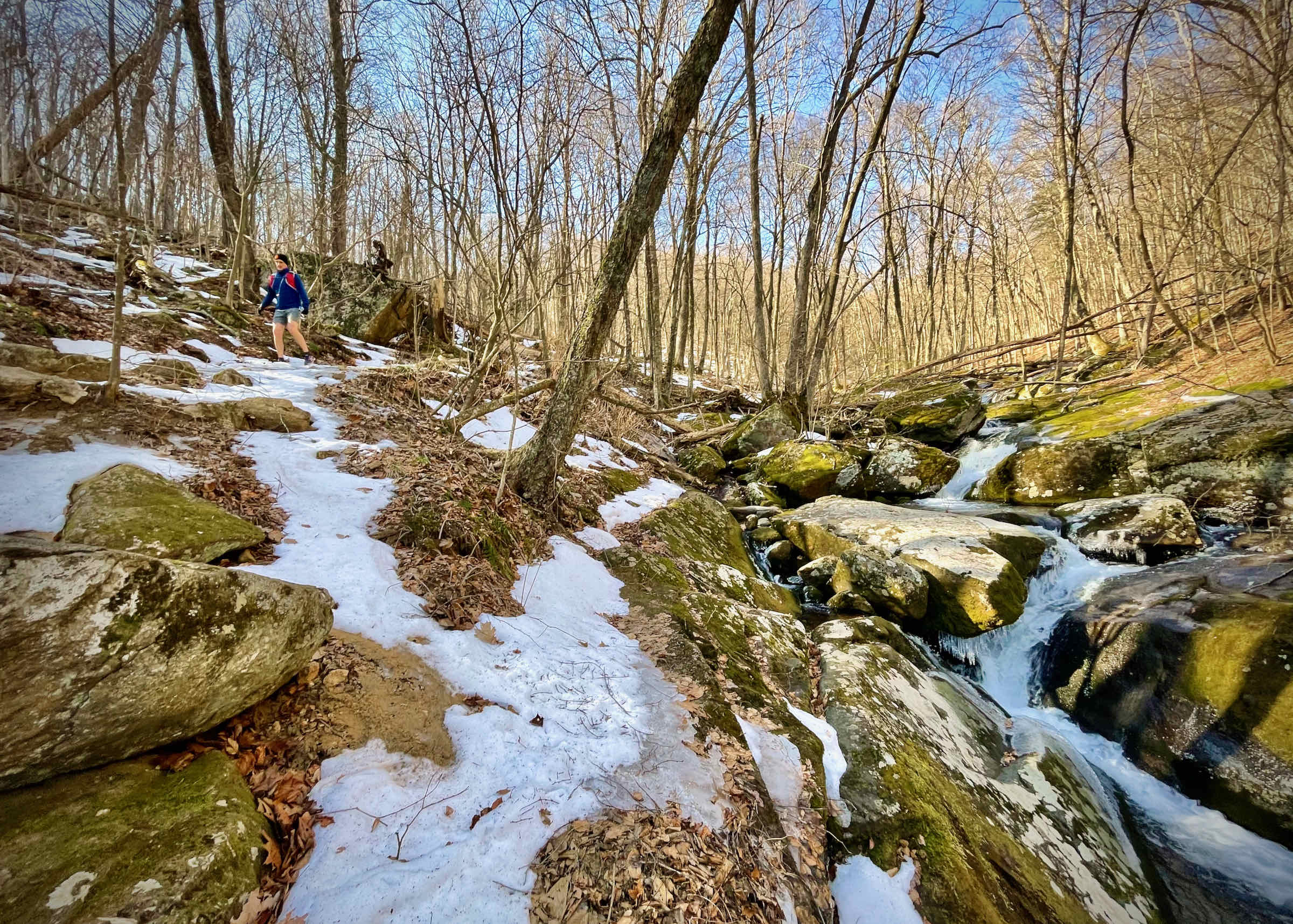
Follow the Skyland-Big Meadows Horse Trail on a gradual descent for 3 miles to the blue-blazed Rose River Trail. Take a left and descend and then ascend for just over 2 miles along two upper tributaries of the Rose River, each with innumerable cascades. You will also pass by an old copper mine along the way.
At mile 16, intersect the Rose River Fire Road at Dark Hollow Falls. Take a left and descend on the fire road 5.6 miles down to your car.
Last updated April 26, 2021
What you do is up to you, but you shouldn't rely on these directions alone; they are often not specific enough to navigate by, and may be incorrect or out of date. Review a map beforehand and carry it with you. Tell a friend where you are going and when you plan to return. Do not count on having cell phone service while on the run. The VHTRC is not responsible for your welfare on any of these runs. If you go on one of these runs and get lost, run out of water, get injured, mauled by a bear, or die, or if anything else goes wrong, it's your fault; not ours. You assume all risks here and the VHTRC assumes none at all. Legal issues aside, some of these runs are more remote than others and the VHTRC is not suggesting that you do any of these runs, unless you are prepared to accept full responsibility for yourself.