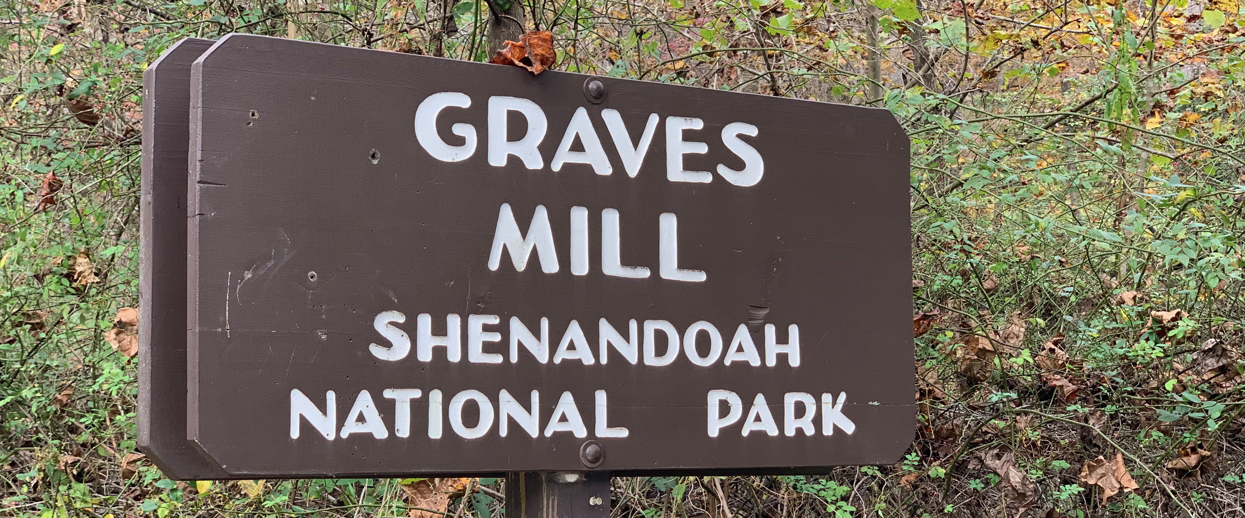
Graves Mill Trailhead
The Graves Mill trailhead is at the end of State Rt. 662, northwest of Madison, VA.
Sort the table below by clicking on the column header. You may sort ascending or descending (just click again). Refresh the page to get the table back to its default view.
| Run name |
Distance (miles) |
Ascent (feet) |
Ascent per Mile (feet/mile) |
|---|---|---|---|
| Bear Church Rock - Staunton River - Rapidan River Loop | 12.6 | 2,700 | 215 |
| Staunton River - Fork Mountain - Jones Mountain - Bear Church Rock Loop | 14.5 | 3,150 | 220 |
| Bear Church Rock - Fork Mountain - Rapidan River Loop | 17.1 | 3,750 | 220 |