Staunton River - Fork Mountain - Jones Mountain - Bear Church Rock Loop
A scenic climb along the cascading Staunton River culminating in the ascent of one of the tallest peaks in the Shenandoahs, followed by ridge running punctuated by a spectacular vista.
- Distance
-
- 14.5 miles
- Running time
-
- 3–4.5 hours
- Total ascent/descent
-
-
3,150 feet
220 feet/mile
-
3,150 feet
- Start/finish
- GPX file
- What to wear
Directions
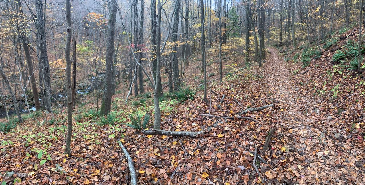
From the trailhead, ascend gently on the yellow-blazed Graves Mill Trail along the Rapidan River. After 0.5 miles, take a left onto the blue-blazed Staunton River Trail, following the Staunton River through a picturesque gorge wrapping along the base of Jones Mountain.
Follow the Staunton River Trail for 4 miles, passing the Jones Mountain Trail and McDaniel Hollow Trail off to the left. At mile 4.5, reach the Fork Mountain Road.

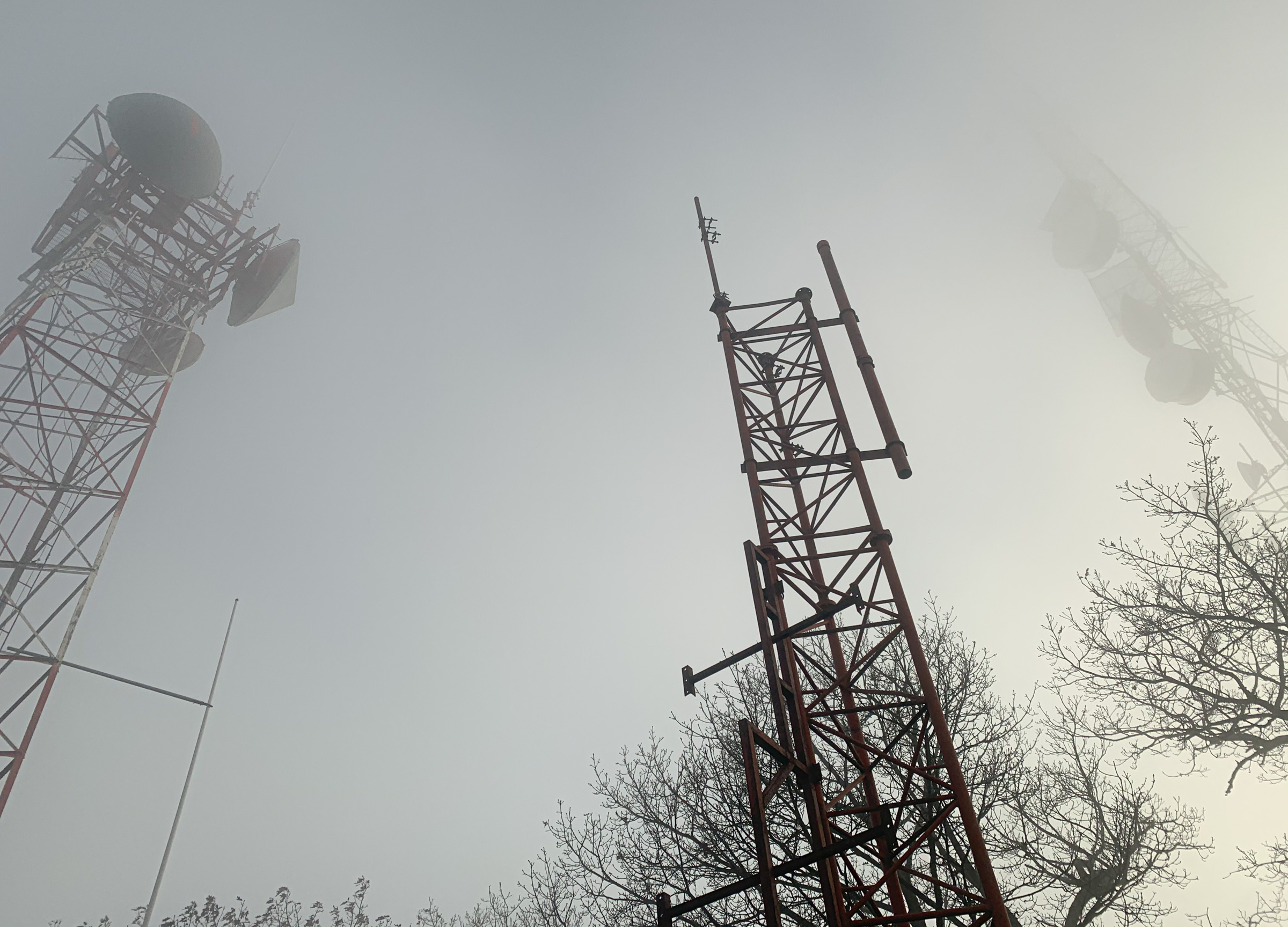
Take a left on the Fork Mountain Road and climb for 0.75 miles to the The Sag (mile 5.3), which is the saddle between Cat Knob and Fork Mountain and is the intersection of the Jones Mountain Trail and the Fork Mountain Horse Trail with the Fork Mountain Road. From here you can take the optional 1.3 mile out-and-back to the 3,845 foot summit of Fork Mountain.
Fork Mountain ranks as the third highest peak in the Shenandoahs, exceeded only by Hawksbill and Stony Man. Unlike those mountains, however, Fork Mountain is not inside Shenandoah National Park and lacks expansive views, so it doesn’t get the press of the others. But you’re so close, your friends probably haven’t climbed it, and the views are good enough in the winter.
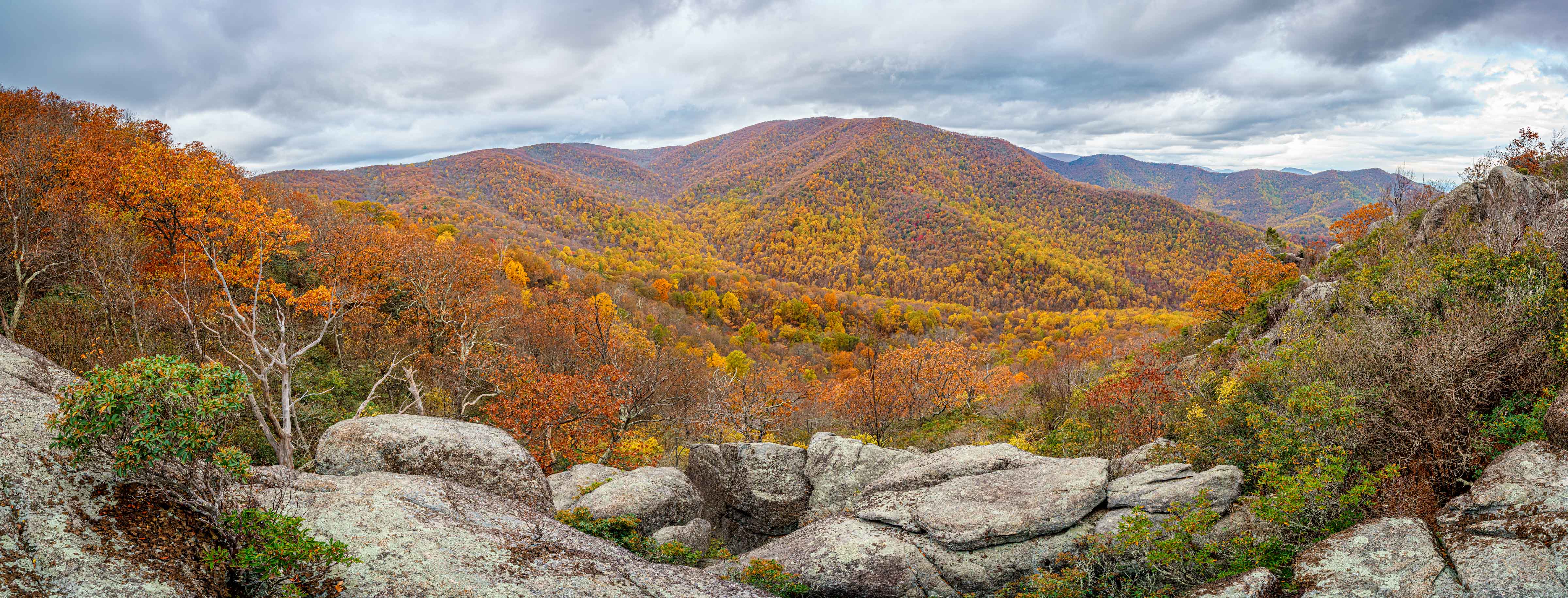
From The Sag, take the Jones Mountain Trail for 1 mile to the intersection with the Cat Knob Trail off to the right. Stay left on the Jones Mountain Trail, gradually descending along the ridge for 3.1 miles before intersecting the short side trail off to the left to the spectacular view from Bear Church Rock (mile 10.8). The view is not marked so be sure not to miss it. If you begin descending off the ridge steeply turn around!
After taking in the view, descend for a little less than half a mile (11.25 miles), reaching the side trail to the Jones Mountain Cabin.1
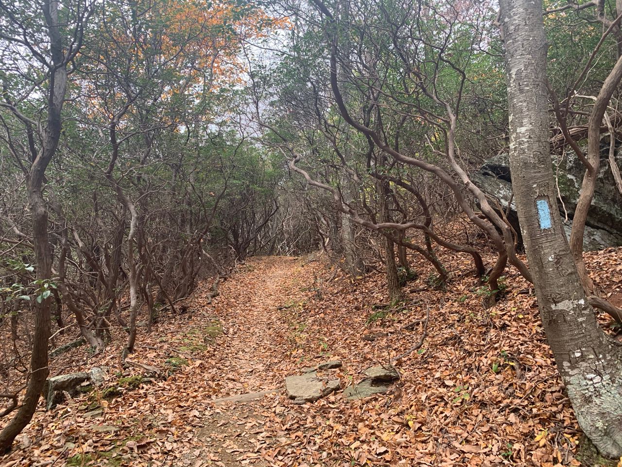
Shortly after the side trail, pass through a beautiful tunnel of old-growth mountain laurel and then descend down to the McDaniel Hollow Trail off to the left. Stay on the Jones Mountain Trail for another 0.5 miles to the intersection with the Staunton River Trail (mile 11.9).
Turn right onto the Staunton River Trail and descend along the river for 2.2 miles to the the Graves Mill Trail. Take a right and follow the yellow-blazed Graves Mill Trail 0.5 miles back to your car.
Other options
You can easily shorten or lengthen this run.
- The shorter option skips the climb up Fork Mountain from The Sag, making for a 13.2 mile run with 3,075 feet of ascent/descent. Download GPX file.
- The longer option takes the out-and-back to the Jones Mountain Cabin. That run is 15.2 miles with 3,750 feet of ascent/descent. Download GPX file.
-
The Jones Mountain Cabin is a chestnut log cabin built by moonshiner Harvey Nichols in 1918 and is well-preserved vestige of the types of mountain homes that dotted these mountains before the establishment of the national park in 1935. The cabin can be reached on an optional 0.6-mile round-trip out-and-back. ↩
Last updated November 1, 2020
What you do is up to you, but you shouldn't rely on these directions alone; they are often not specific enough to navigate by, and may be incorrect or out of date. Review a map beforehand and carry it with you. Tell a friend where you are going and when you plan to return. Do not count on having cell phone service while on the run. The VHTRC is not responsible for your welfare on any of these runs. If you go on one of these runs and get lost, run out of water, get injured, mauled by a bear, or die, or if anything else goes wrong, it's your fault; not ours. You assume all risks here and the VHTRC assumes none at all. Legal issues aside, some of these runs are more remote than others and the VHTRC is not suggesting that you do any of these runs, unless you are prepared to accept full responsibility for yourself.