Russ’s Run
Tough, with long and sustained climbs/descents, maximum overall ascent/descent, yet relatively close to the DC metro area.
- Distance
-
- 34.3 miles
- Running time
-
- 6–9 hours
- Total ascent/descent
-
-
9,600 feet
280 feet/mile
-
9,600 feet
- Start/finish
- GPX file
- What to wear
Russ Evans sought a training run for big Western 100s. This is the route that he came up with, described in his own words.
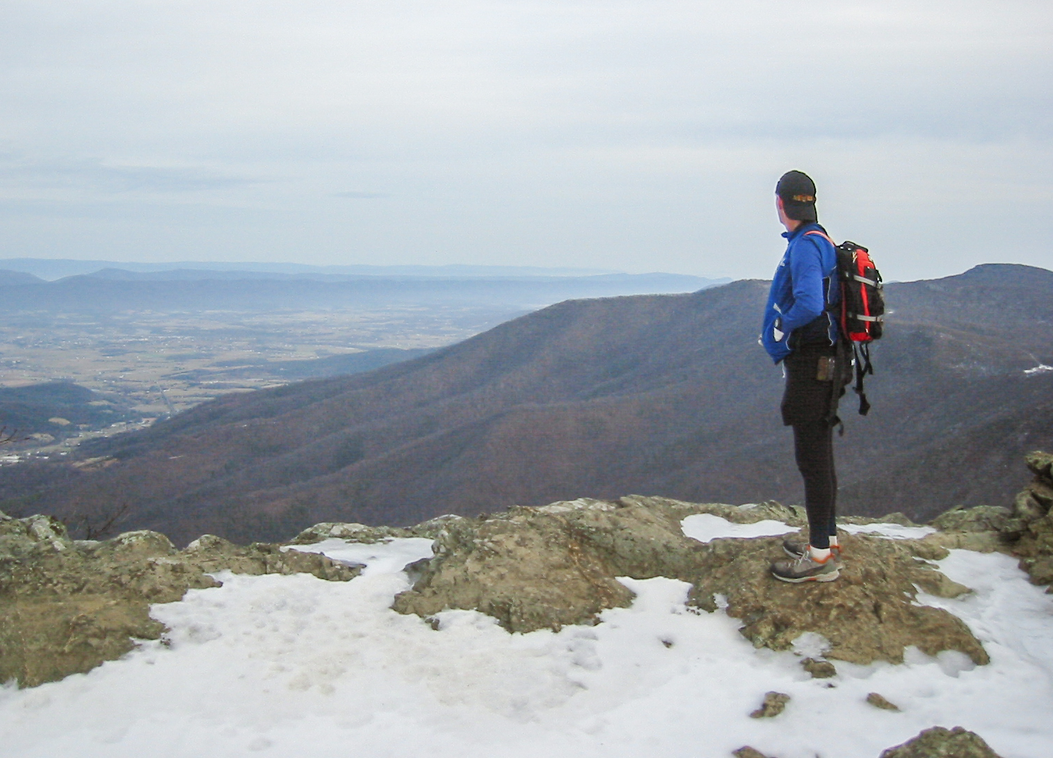
I had specific goals when designing this route — to find a route that would prepare me for Western climbs and descents when preparing to go run a Western hundred. Cedar Run to Hawksbill is almost 3,000 feet in 4 miles. The bottom of Skyland Fire Road to the top of Stony Man is about 2,850 feet in 5-ish miles, I think. The descent down Old Rag Fire Road is similar to a run down any Western mountain trail. And then to finally kick your butt, re-ascend Cedar Run to Hawksbill, and then make your way to the Whiteoak Canyon trail on the Big Meadows-Skyland connector horse trail and enjoy the beautiful waterfalls as you descend back to your car on the Whiteoak Canyon trail. I think that gave me around 9,500 – 9,700 feet of elevation gain and loss in about 35 miles. And I didn’t have to drive all the way to The Priest/Three Ridges. The whole point of this run was to find the most elevation gain/loss that is relatively close and where the climbs and descents are long and sustained. It also just happens to have some awesome perks with the views from Hawksbill and Stony Man — the two highest points in SNP — and the awesome waterfalls along Whiteoak Canyon, as well as a reasonable bear sighting opportunity along any of these trails — I have seen a number of them on all along this route.

The Route
Start with a 4 mile, 2,950 foot ascent on the Cedar Run Trail to the summit of Hawksbill, the highest point in Shenandoah National Park. Then traverse on the Appalachian Trail over to Skyland (mile 8.6, with water fountains and snack bar in season) and drop into the Shenandoah Valley on the Skyland Fire Road. At the bottom, turn around and climb back up toward Skyland before hanging a left onto the Passamaquoddy Trail, passing under Stony Man and Little Stony Man. The Passamaquoddy Trail is the original historic route of the AT and there are many examples of CCC stonework along the route. There is also an excellent spring near the Passamaquoddy Trail/Skyland Fire Road intersection.
After a mile, the Passamaquoddy Trail tees into the AT, just north of Little Stony Man. Take a right (south) on the AT and follow it over Little Stony Man and over to Stony Man, where the loop trail takes you out to excellent views of the Shenandoah Valley. From Stony Man, descend into Skyland (mile 19, water and snacks).
From Skyland, traverse over to the upper Whiteoak Canyon Trailhead on the Skyland Upper Loop Road (or take the AT) and take the Whiteoak Canyon Trail about 0.5 miles to the Old Rag Fire Road. Descend on the fire road 4.4 miles to the Barry Hollow Fire Road and then take a right on Barry Hollow for 1.75 miles back to your car at the lower Whiteoak Canyon Trailhead.
At this point you can call it a day, with 26.5 miles and 7,100 feet of ascent/descent under you belt. Or, you can refuel for the ten-mile finale of the route. Take the Cedar Run Trail up to Skyline Drive. Just before the Drive, take a right onto the Skyland-Big Meadows Horse Trail and traverse for 0.6 miles to the Whiteoak Canyon Fire Road. Take a right on the fire road and descend 1.6 miles to Whiteoak Canyon.

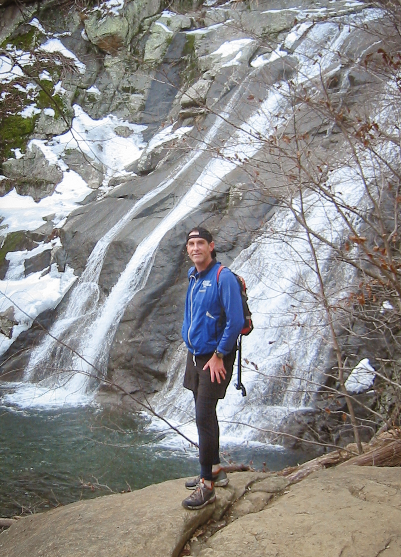
Cross the Robinson River by rock-hopping or by taking the optional bridge just upstream and intersect with the Whiteoak Canyon Trail. Take a right and immediately come to the overlook for the largest waterfall on your right. Stay on the Whiteoak Canyon Trail for 2.5 miles back to your car, passing many beautiful cascades on the way down.
Crack open a craft brew for Russ back at your car.
Last updated December 20, 2024
What you do is up to you, but you shouldn't rely on these directions alone; they are often not specific enough to navigate by, and may be incorrect or out of date. Review a map beforehand and carry it with you. Tell a friend where you are going and when you plan to return. Do not count on having cell phone service while on the run. The VHTRC is not responsible for your welfare on any of these runs. If you go on one of these runs and get lost, run out of water, get injured, mauled by a bear, or die, or if anything else goes wrong, it's your fault; not ours. You assume all risks here and the VHTRC assumes none at all. Legal issues aside, some of these runs are more remote than others and the VHTRC is not suggesting that you do any of these runs, unless you are prepared to accept full responsibility for yourself.
