Browntown Loop
The Browntown Loop is an annual Fourth of July tradition. The loop starts and finishes at Jordan River, just west of Flint Hill, VA.
- Distance
-
- 20.9 miles
- Running time
-
- 4–6 hours
- Total ascent/descent
-
-
3,725 feet
180 feet/mile
-
3,725 feet
- Start/finish
- GPX file
- Print or download
- What to wear
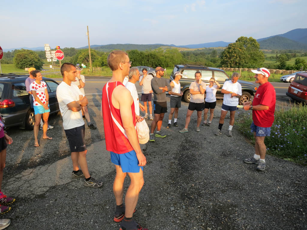
The Browntown Loop is an Independence Day tradition and is the brainchild of Russ Evans. The first run was on July 4, 2001, with just three runners: John Dodds, Russ Evans, and Gary Knipling. By 2010, there were 25 runners. You can read about the first four runs in these two articles by John Dodds: Smokey and The Pundit: Another VHTRC Training Run (2002) and Browntown Loop: An Independence Day Tradition (2004).
Russ passed away on December 18, 2024, after a long and valiant fight against cancer. We keep his memory alive every Independence Day by running this memorable foray into Browntown.
Directions
From the trailhead, take the Jordan River Trail 1.25 miles to Thoroughfare Gap. Take a right onto yellow-blazed Mount Marshall Trail and after 0.4 miles, take a sharp left onto the yellow-blazed Bluff Trail. In 2.3 miles, take the blue-blazed Big Devils Stairs Trail for a short out-and-back to a view of the Big Devils Stairs gorge. Return to the Bluff Trail to continue the climb, topping out on Skyline Drive at Gravel Springs (mile 7.0).
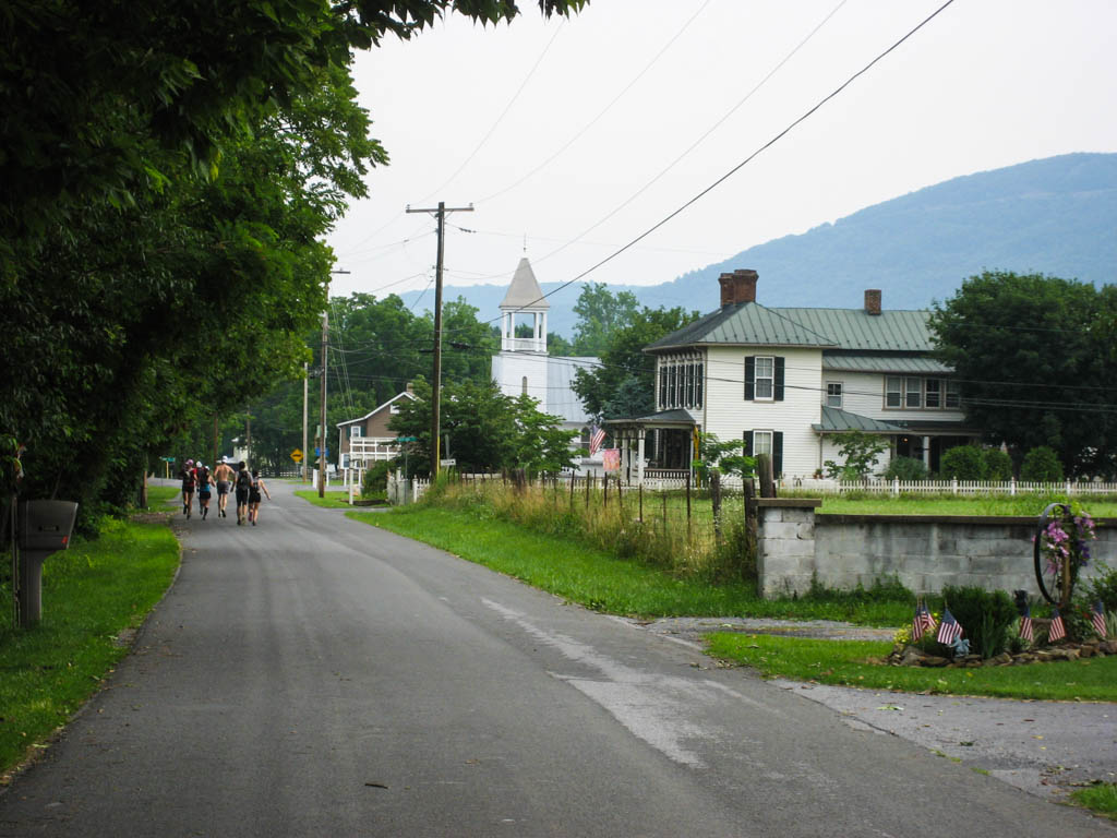
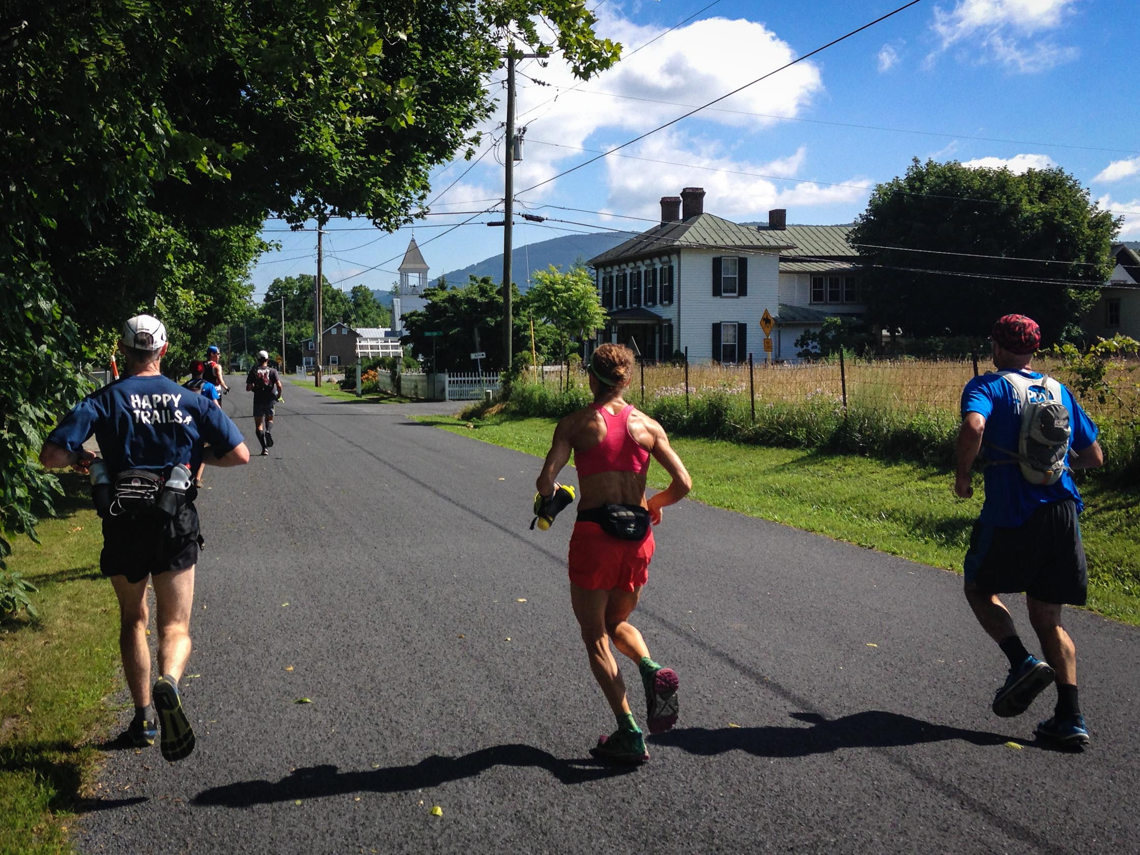
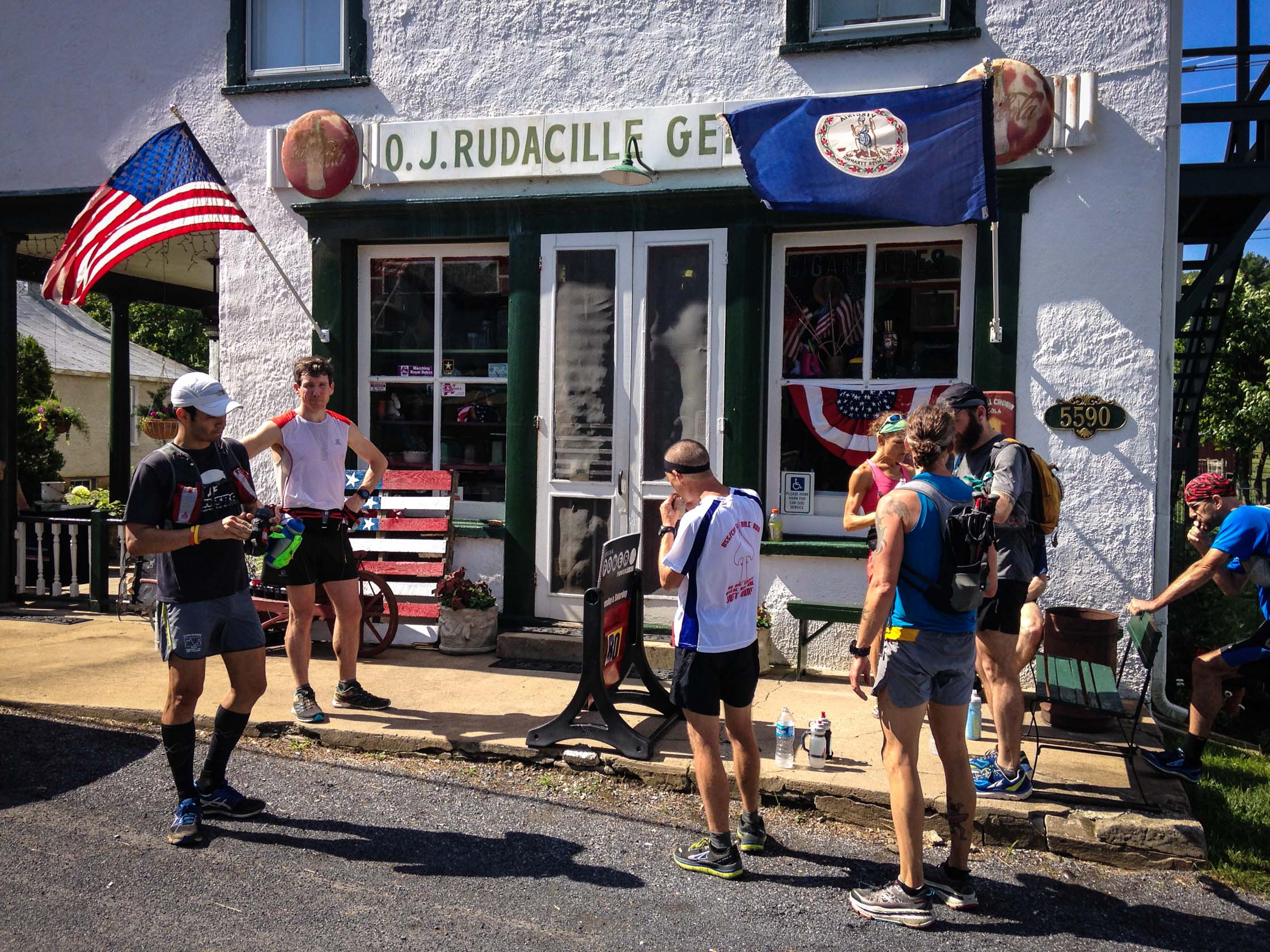
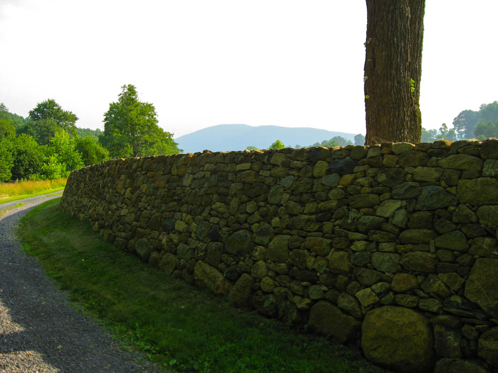
Cross the drive and the Appalachian Trail1 and continue straight down an old roadbed into Browntown. You will exit the woods at a farm with a beautiful stone wall, where you take a left onto the gravel road. After 0.25 miles, make a right onto Gooney Manor Loop (State Route 631). Stay on Gooney Manor Loop for 1.25 miles to the country store in Browntown (mile 11.5).
From the store, backtrack on Gooney Manor Loop a short distance before taking a left onto Smith Run Road (State Route 634). Begin the climb on paved, then gravel road before reaching Jenkins Gap Trail (mile 13.8).
Crest the Blue Ridge at Jenkins Gap and cross Skyline Drive (mile 15.3). Turn right and follow Skyline Drive uphill for 0.2 miles to the Mount Marshall trailhead. Turn left down the yellow-blazed Mount Marshall Trail as it winds around the mountain, crossing Waterfall Branch and Sprucepine Branch, before arriving at the intersection of the Bluff Trail in 3.5 miles. Continue straight on the Mount Marshall Trail for another 0.4 miles to Thoroughfare Gap and intersection with the Jordan River Trail. Take a left on the Jordan River Trail for 1.25 miles back to your car.
-
For a shorter, all-trail, option see the Bluff Trail — Appalachian Trail — Mount Marshall Trail Loop. ↩
Photos


Last updated May 29, 2025
What you do is up to you, but you shouldn't rely on these directions alone; they are often not specific enough to navigate by, and may be incorrect or out of date. Review a map beforehand and carry it with you. Tell a friend where you are going and when you plan to return. Do not count on having cell phone service while on the run. The VHTRC is not responsible for your welfare on any of these runs. If you go on one of these runs and get lost, run out of water, get injured, mauled by a bear, or die, or if anything else goes wrong, it's your fault; not ours. You assume all risks here and the VHTRC assumes none at all. Legal issues aside, some of these runs are more remote than others and the VHTRC is not suggesting that you do any of these runs, unless you are prepared to accept full responsibility for yourself.