The Roller Coaster
This section of the Appalachian Trail between Route 50 and Route 7 is known as “The Roller Coaster,” as the AT climbs and descends many small ridges and hollows.
- Distance
-
- 13.3 miles
- Running time
-
- 2.5–4.5 hours
- Total ascent / descent
-
-
3,800 / 3,720 feet
290 / 280 feet/mile
-
3,800 / 3,720 feet
- Start
- Finish
- GPX file
- What to wear
As shown here, the run is a point-to-point, starting at Ashby Gap (Route 50) and going north to Snickers Gap (Route 7). The run may also be run north-to-south or, for the more ambitious, as a tough 27 mile out-and-back with more than 7,500 feet of ascent.
Details
Park at the trailhead on the north side of Route 50 in Ashby Gap and finish at a commuter lot on south side of Route 7 in Snickers Gap. An alternative starting location is at the trailhead on Liberty Hill Lane on the south side of Route 50.

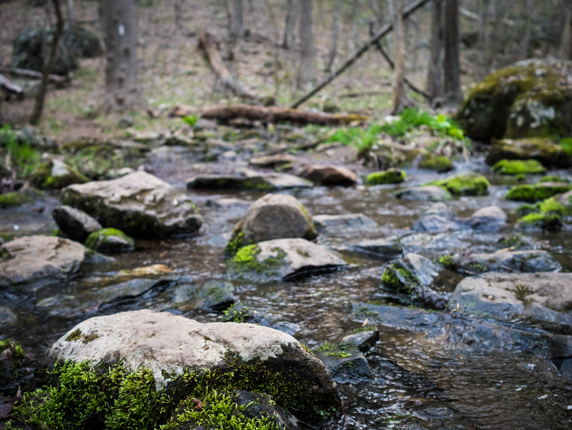
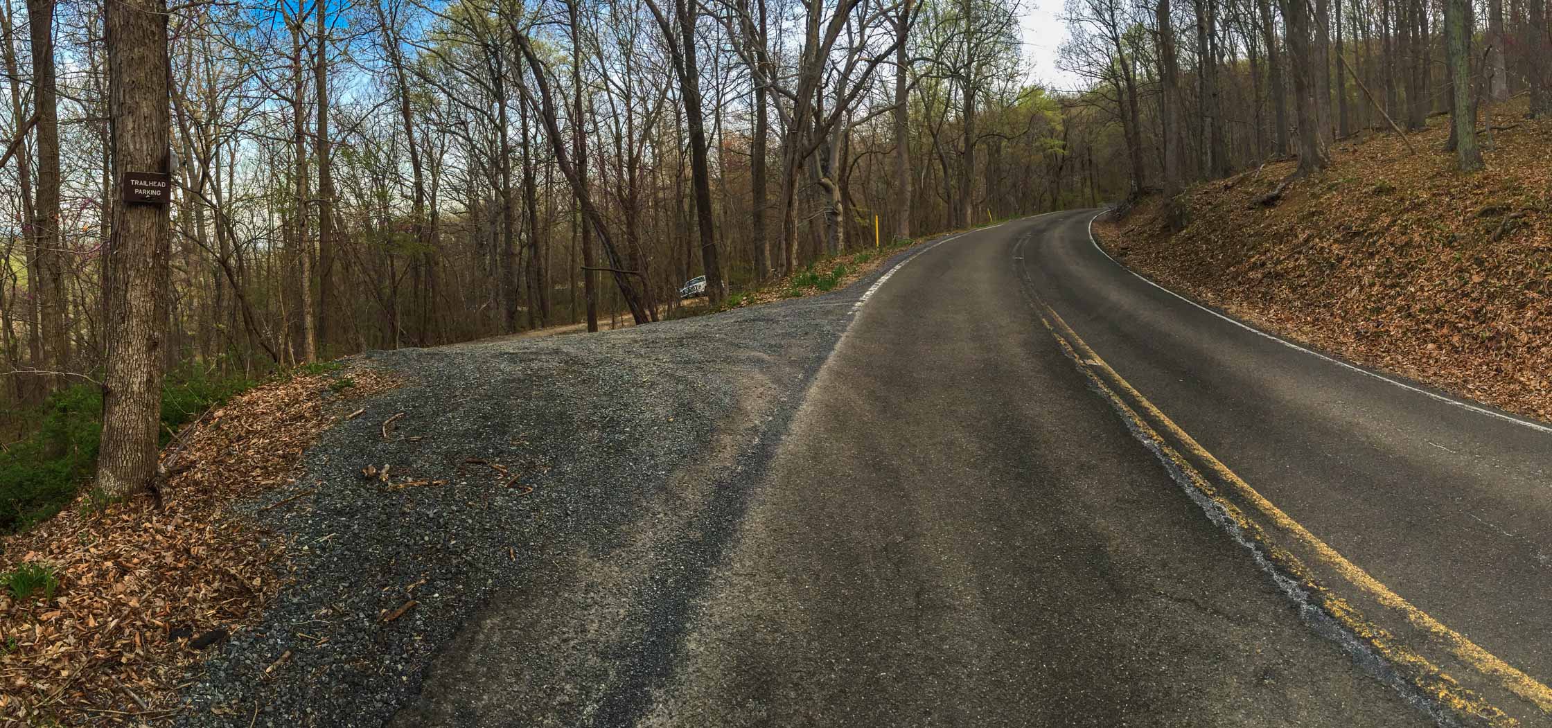
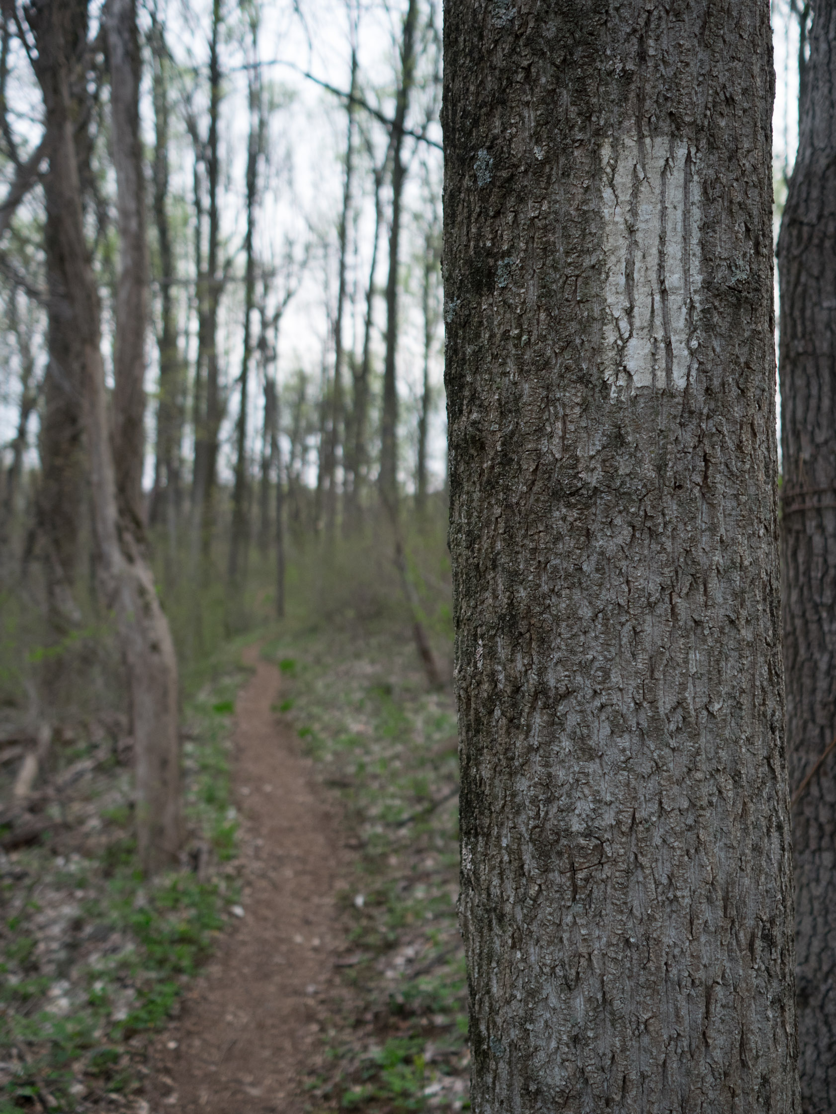
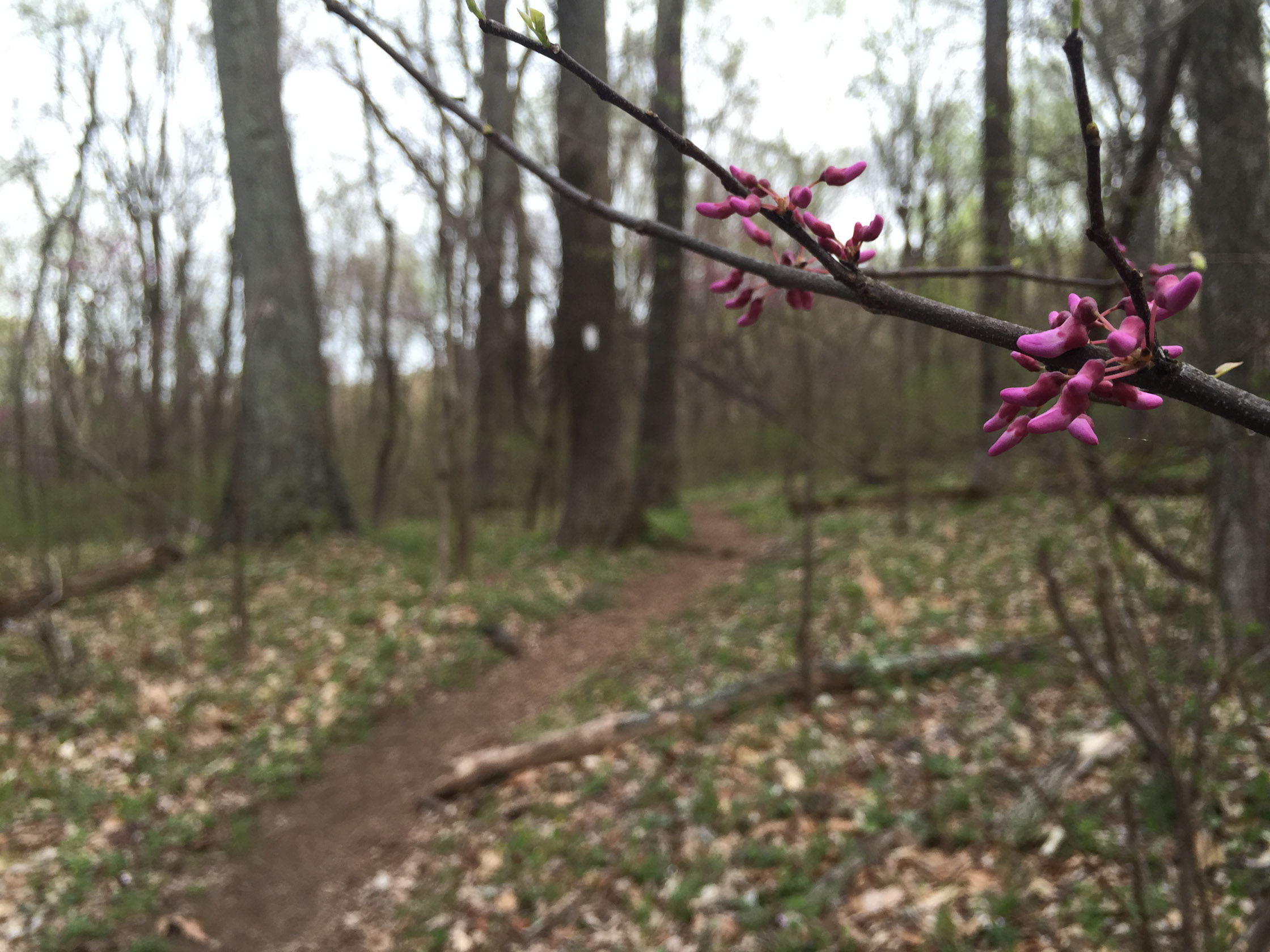
Photos
Last updated June 16, 2020
What you do is up to you, but you shouldn't rely on these directions alone; they are often not specific enough to navigate by, and may be incorrect or out of date. Review a map beforehand and carry it with you. Tell a friend where you are going and when you plan to return. Do not count on having cell phone service while on the run. The VHTRC is not responsible for your welfare on any of these runs. If you go on one of these runs and get lost, run out of water, get injured, mauled by a bear, or die, or if anything else goes wrong, it's your fault; not ours. You assume all risks here and the VHTRC assumes none at all. Legal issues aside, some of these runs are more remote than others and the VHTRC is not suggesting that you do any of these runs, unless you are prepared to accept full responsibility for yourself.