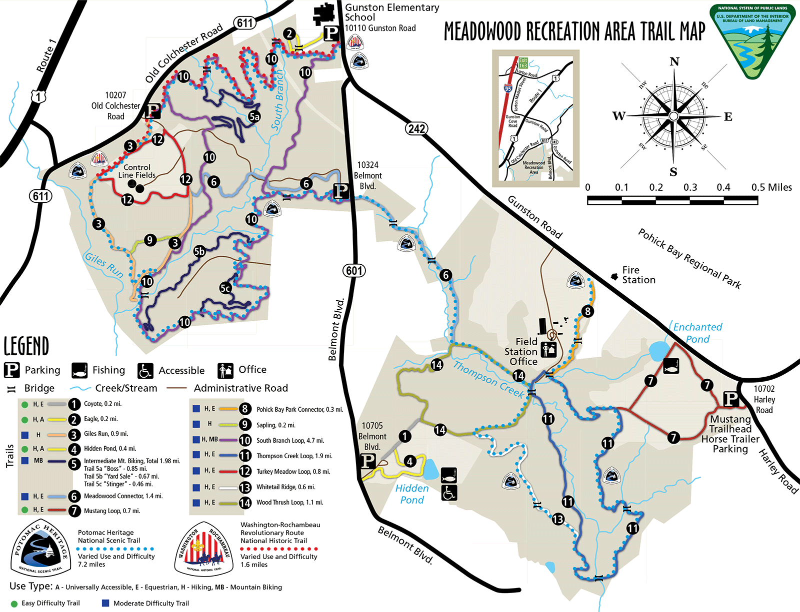
Meadowood
The Meadowood Special Recreation Management Area (SRMA) is an 800-acre mosaic of open meadows, hardwood forests, ponds, streams, and wetlands.
- Distance
-
- 15 miles
- Running time
-
- 3–4.5 hours
- Total ascent/descent
-
-
700 feet
50 feet/mile
-
700 feet
- Start/finish
- Print or download
- What to wear
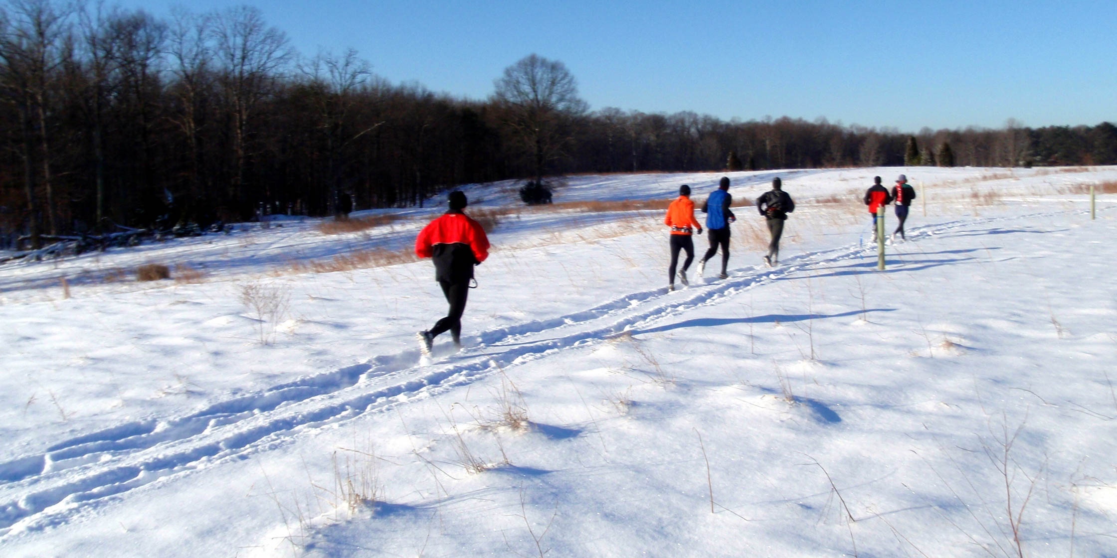
This former horse farm is now managed by the U.S. Department of the Interior Bureau of Land Management (BLM). Former farm roads and equestrian trails are now open to all for hiking, equestrian, and mountain biking enjoyment. Meadowood contains about 15 miles of trails. The Mustang Loop, Thompson Creek Loop, and Pohick Bay Park Connector were parts of the Eagle Run.
Last updated June 16, 2020
What you do is up to you, but you shouldn't rely on these directions alone; they are often not specific enough to navigate by, and may be incorrect or out of date. Review a map beforehand and carry it with you. Tell a friend where you are going and when you plan to return. Do not count on having cell phone service while on the run. The VHTRC is not responsible for your welfare on any of these runs. If you go on one of these runs and get lost, run out of water, get injured, mauled by a bear, or die, or if anything else goes wrong, it's your fault; not ours. You assume all risks here and the VHTRC assumes none at all. Legal issues aside, some of these runs are more remote than others and the VHTRC is not suggesting that you do any of these runs, unless you are prepared to accept full responsibility for yourself.