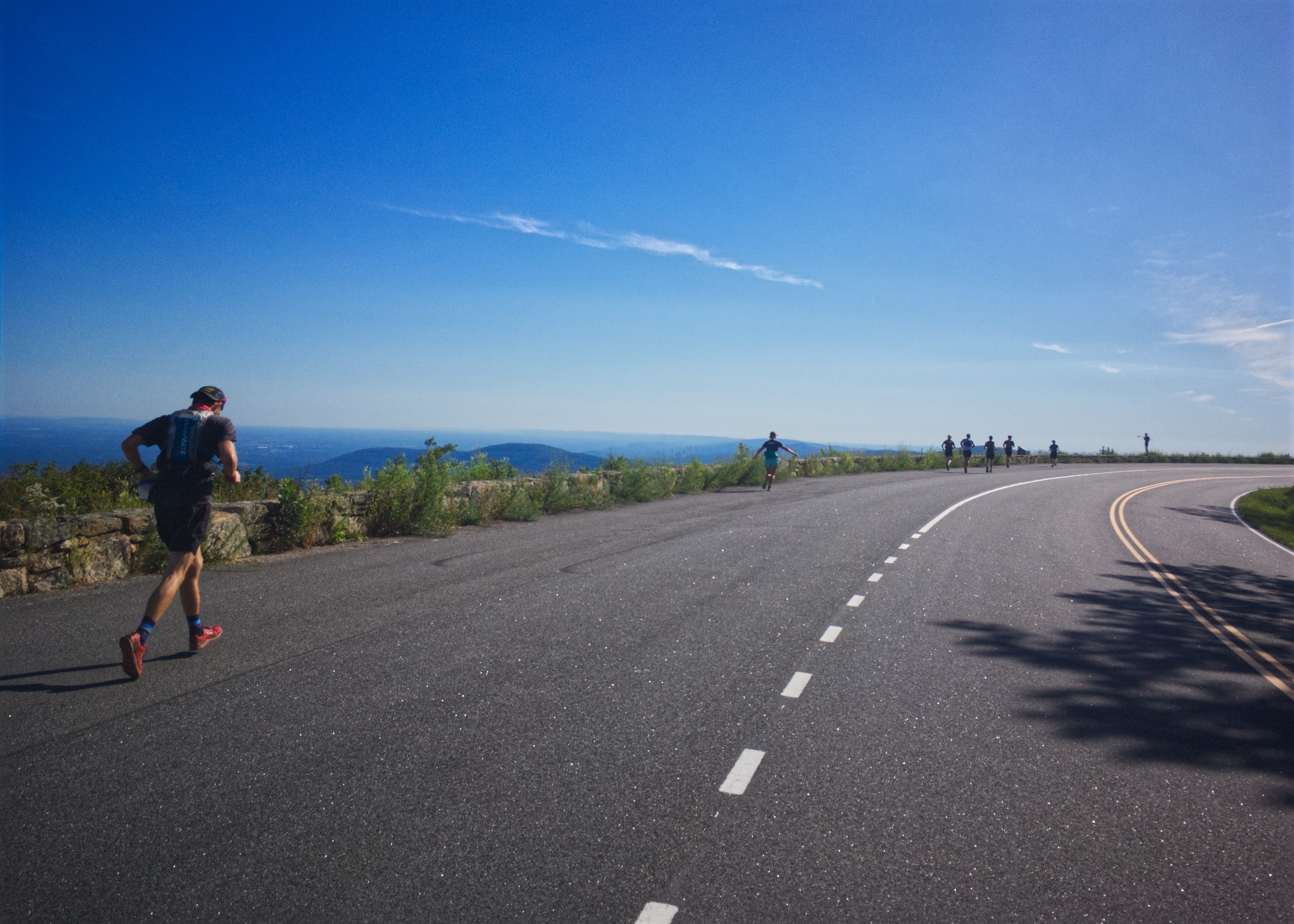
Little Devils Stairs Figure-8
Climbing a picturesque gorge, Little Devils Stairs is a popular loop day hike in Shenandoah National Park. This runs extends that hike with a second loop incorporating the Appalachian Trail.
- Distance
-
- 15.5 miles
- Running time
-
- 3–5.5 hours
- Total ascent/descent
-
-
3,300 feet
215 feet/mile
-
3,300 feet
- Start/finish
- GPX file
- Print or download
- What to wear
Directions
From the trailhead, take the Little Devils Stairs Trail for 2.1 miles to Fourway and the intersection with the Keyser Run Fire Road (you will end the run on this road). Continue straight and pick up the Pole Bridge Link Trail. After 1 mile, make a right onto Piney Branch Trail. After a short climb, reach the white-blazed Appalachian Trail (AT) at mile 4.3. Take a left and follow the AT (south) to Elkwallow Wayside, with snacks and drink in season (mile 5.7).
From Elkwallow, take the to Mathews Arm Campground (mile 7.6). Pick up the Traces Trail and follow it for 0.5 miles. At the , take a right and climb 0.7 miles up to the AT. Take a left onto the AT northbound towards Hogback Mountain.
At 11.1 miles, make a sharp right onto Keyser Run Fire Road, cross over to the east of Skyline Drive, and descend on the fire road for 3.3 miles, passing through a Fourway intersection and continuing down to a cemetery. Pass the cemetery and take a left, descending to the Little Devils Stairs Trailhead.
Last updated June 28, 2023
What you do is up to you, but you shouldn't rely on these directions alone; they are often not specific enough to navigate by, and may be incorrect or out of date. Review a map beforehand and carry it with you. Tell a friend where you are going and when you plan to return. Do not count on having cell phone service while on the run. The VHTRC is not responsible for your welfare on any of these runs. If you go on one of these runs and get lost, run out of water, get injured, mauled by a bear, or die, or if anything else goes wrong, it's your fault; not ours. You assume all risks here and the VHTRC assumes none at all. Legal issues aside, some of these runs are more remote than others and the VHTRC is not suggesting that you do any of these runs, unless you are prepared to accept full responsibility for yourself.