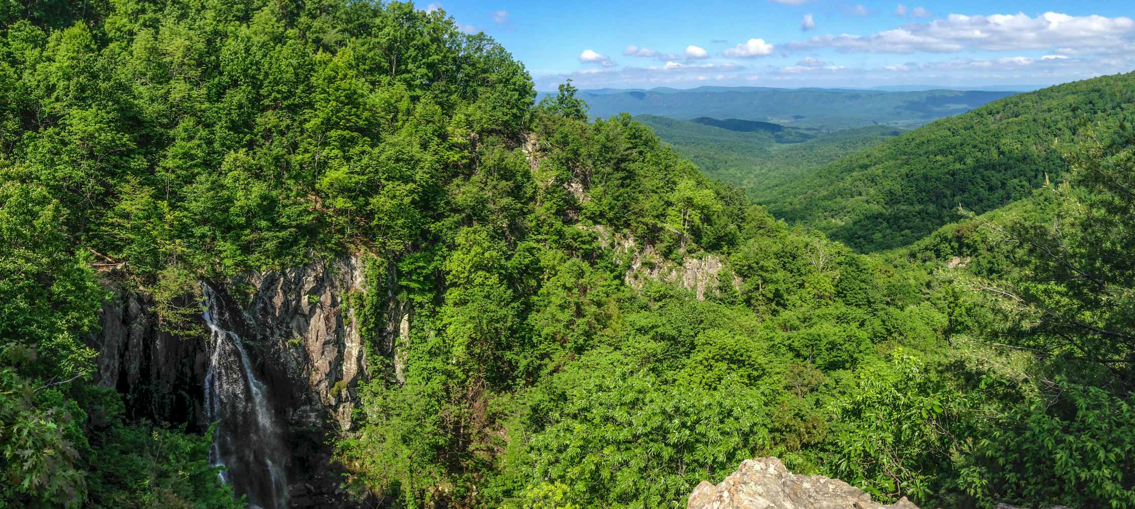
Overall Run Falls.
Keith Knipling
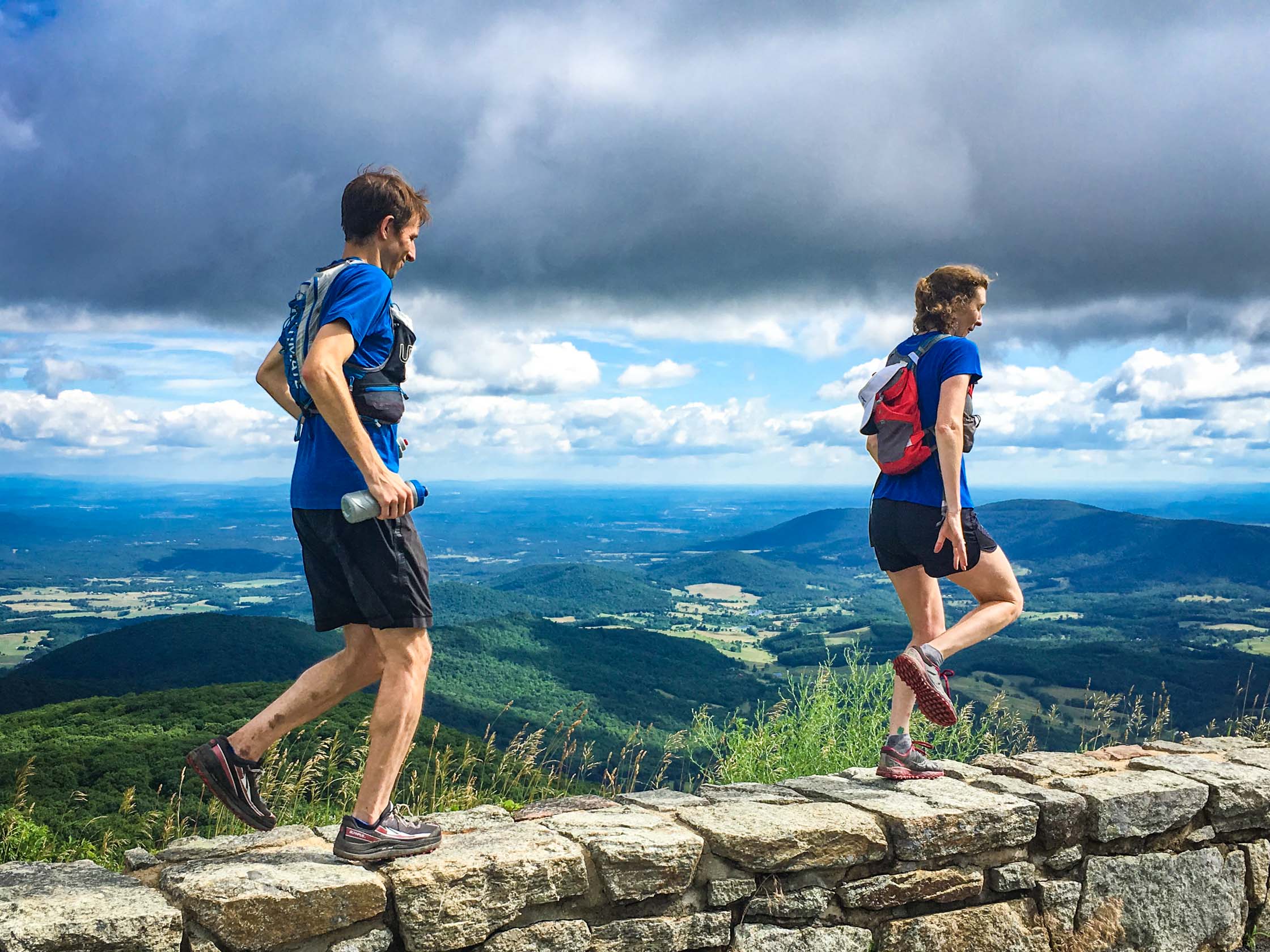
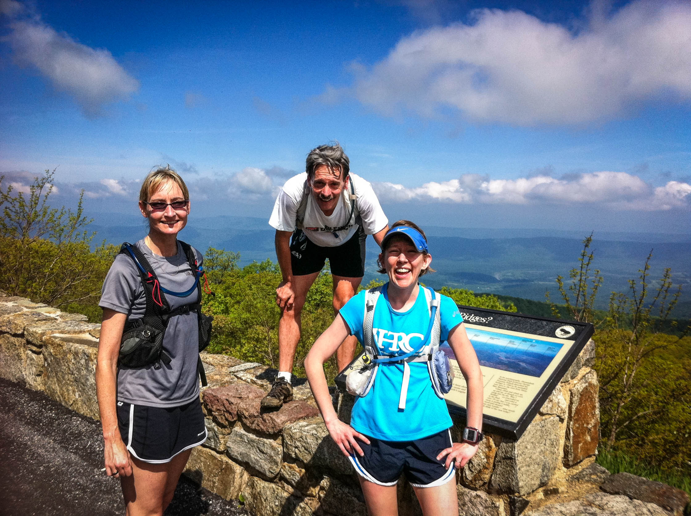
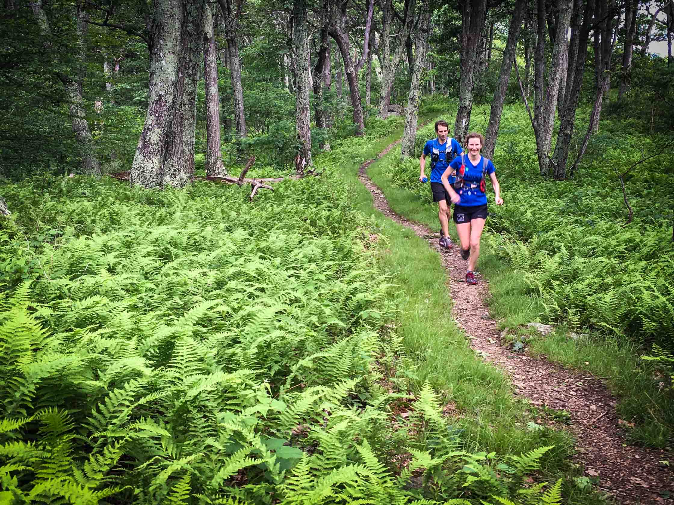
Kerry’s Death March
A figure-eight loop featuring Overall Run Falls, Hogback Mountain, Little Devils Stairs, Elkwallow Wayside, and a fantastic swimming hole in Overall Run at the end.
- Distance
-
- 25.7 miles
- Running time
-
- 5–9 hours
- Total ascent/descent
-
-
6,040 feet
240 feet/mile
-
6,040 feet
- Start/finish
- GPX file
- Print or download
- What to wear
Kerry’s Death March is a figure-eight loop featuring Overall Run Falls, Hogback Mountain, Little Devils Stairs, Elkwallow Wayside, and a fantastic swimming hole in Overall Run at the end. The run was created by longtime club member, Kerry Owens.
From the trailhead on Thompson Hollow Road, follow blue blazes onto Thomson Hollow Trail into the park. After 0.9 miles, turn left onto the Tuscarora/Overall Run Trail and begin the 2,500 foot climb up Overall Run over the next 4 miles. Along the way pass spectacular Overall Run Falls.
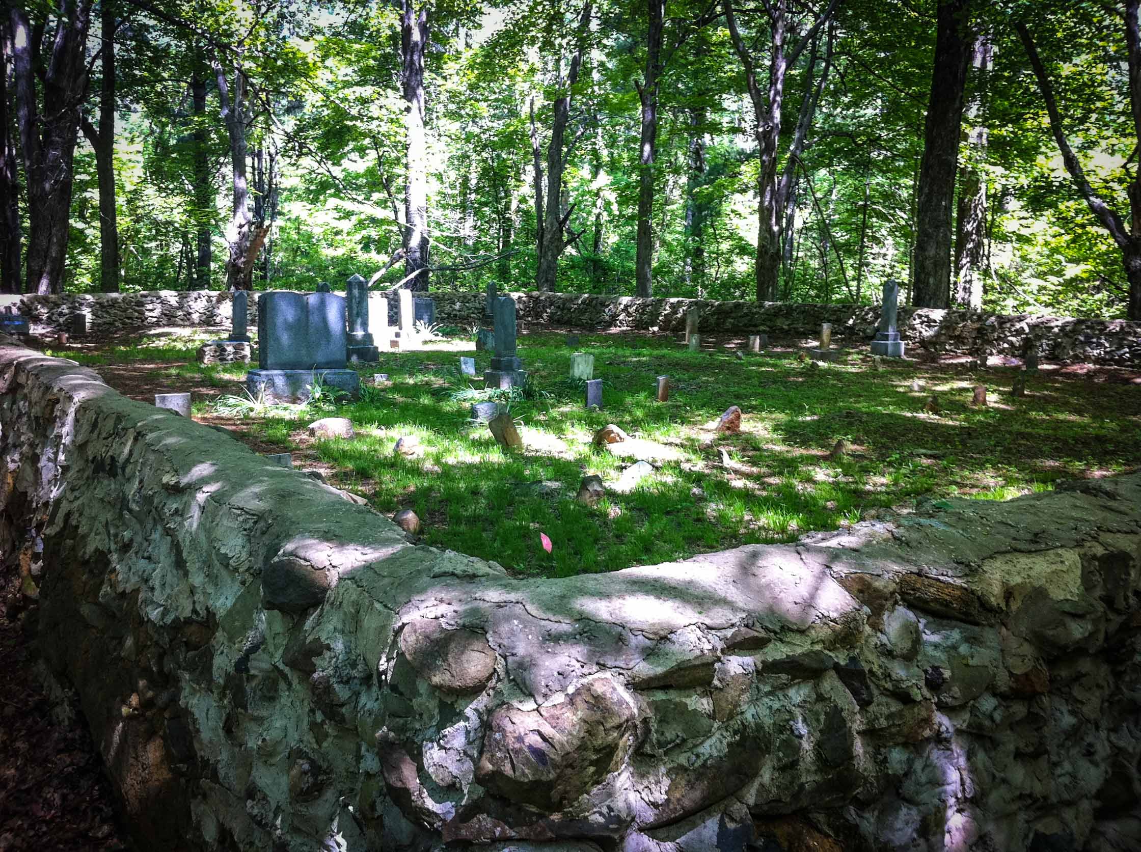
At 5.5 miles, intersect with the white-blazed Appalachian Trail (AT) and take the AT north (left) towards Hogback Mountain. You will cross Skyline Drive twice in the next mile, with excellent views to the Massanutten Mountains to the west. At 7.8 miles, make a sharp right onto Keyser Run Fire Road, cross over to the east of Skyline Drive, and descend on the fire road for 3.3 miles, passing through a Fourway intersection and continuing down to a cemetery. Pass the cemetery and take a left, descending to the Little Devils Stairs Trailhead (mile 12.2). This is a good spot to leave aid.
Climb Little Devils Stairs Trail back to Fourway intersection (mile 14.1) and continue straight on Pole Bridge Link Trail. At mile 15.1, make a right onto Piney Branch Trail. After a short climb, reach the white-blazed AT at mile 16.6. Take a left and follow the AT (south) to Elkwallow Wayside, with snacks and drink in season (mile 18.0).
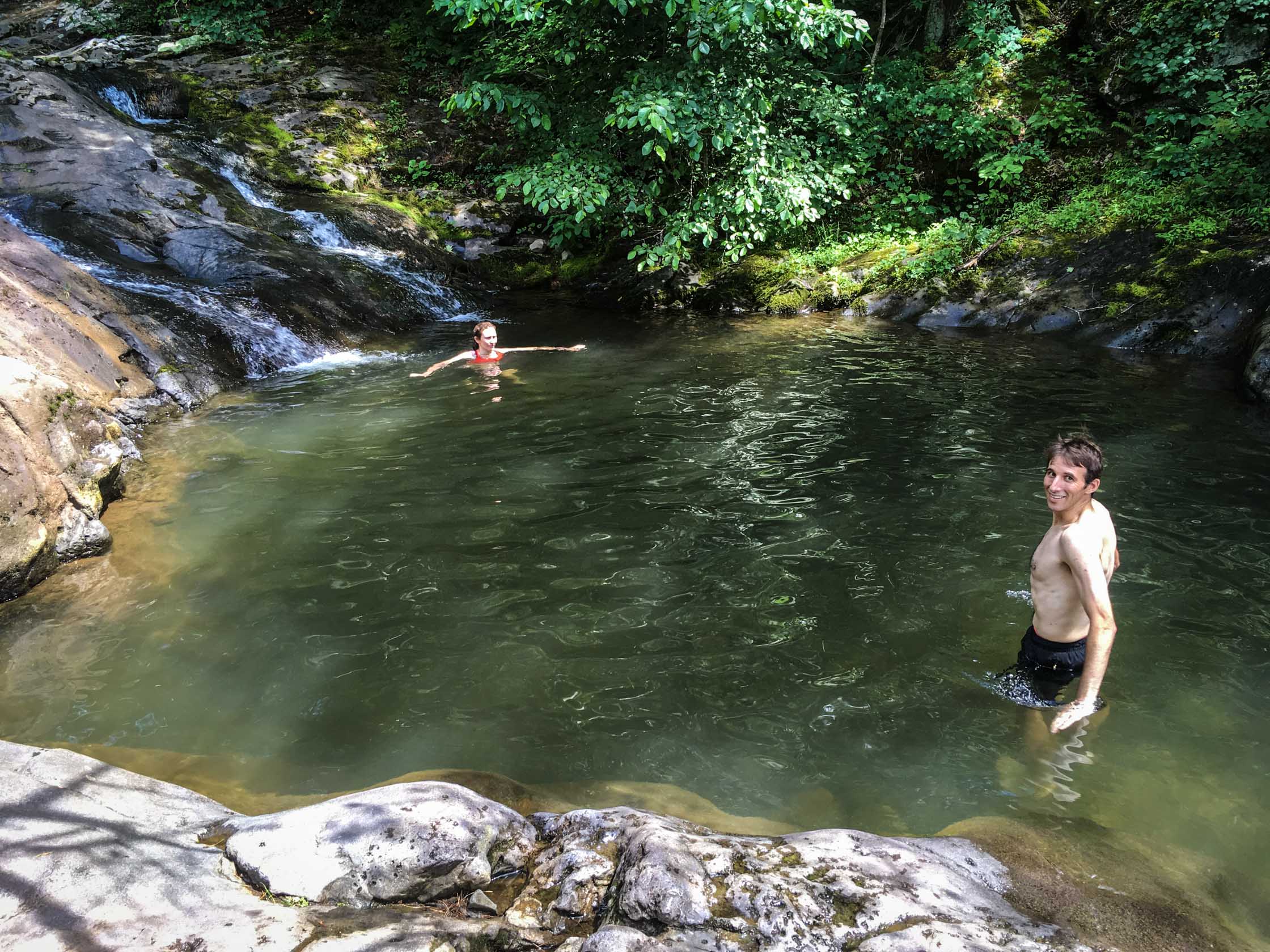
From Elkwallow, take the Elkwallow Trail to Mathews Arm Campground (mile 19.9). Run down the road, bearing left after the ranger station. At mile 20.3, take a right on Heiskell Hollow Trail. In 0.8 miles, at intersection with Weddlewood Trail, stay left on Heiskell Hollow Trail. At the bottom of the descent, shortly after crossing a crekk (mile 22.8), take a right on Beecher Ridge Connector Trail. At mile 23.6, take a left on the Beecher Ridge Trail to junction with Overall Run/Thomson Hollow Trail. At mile 24.6, look for swimming hole on right. Continue on Overall Run Trail a short distance to the Thomson Hollow Trail. Take a left and return to trailhead.
Photos
Last updated February 24, 2021
What you do is up to you, but you shouldn't rely on these directions alone; they are often not specific enough to navigate by, and may be incorrect or out of date. Review a map beforehand and carry it with you. Tell a friend where you are going and when you plan to return. Do not count on having cell phone service while on the run. The VHTRC is not responsible for your welfare on any of these runs. If you go on one of these runs and get lost, run out of water, get injured, mauled by a bear, or die, or if anything else goes wrong, it's your fault; not ours. You assume all risks here and the VHTRC assumes none at all. Legal issues aside, some of these runs are more remote than others and the VHTRC is not suggesting that you do any of these runs, unless you are prepared to accept full responsibility for yourself.