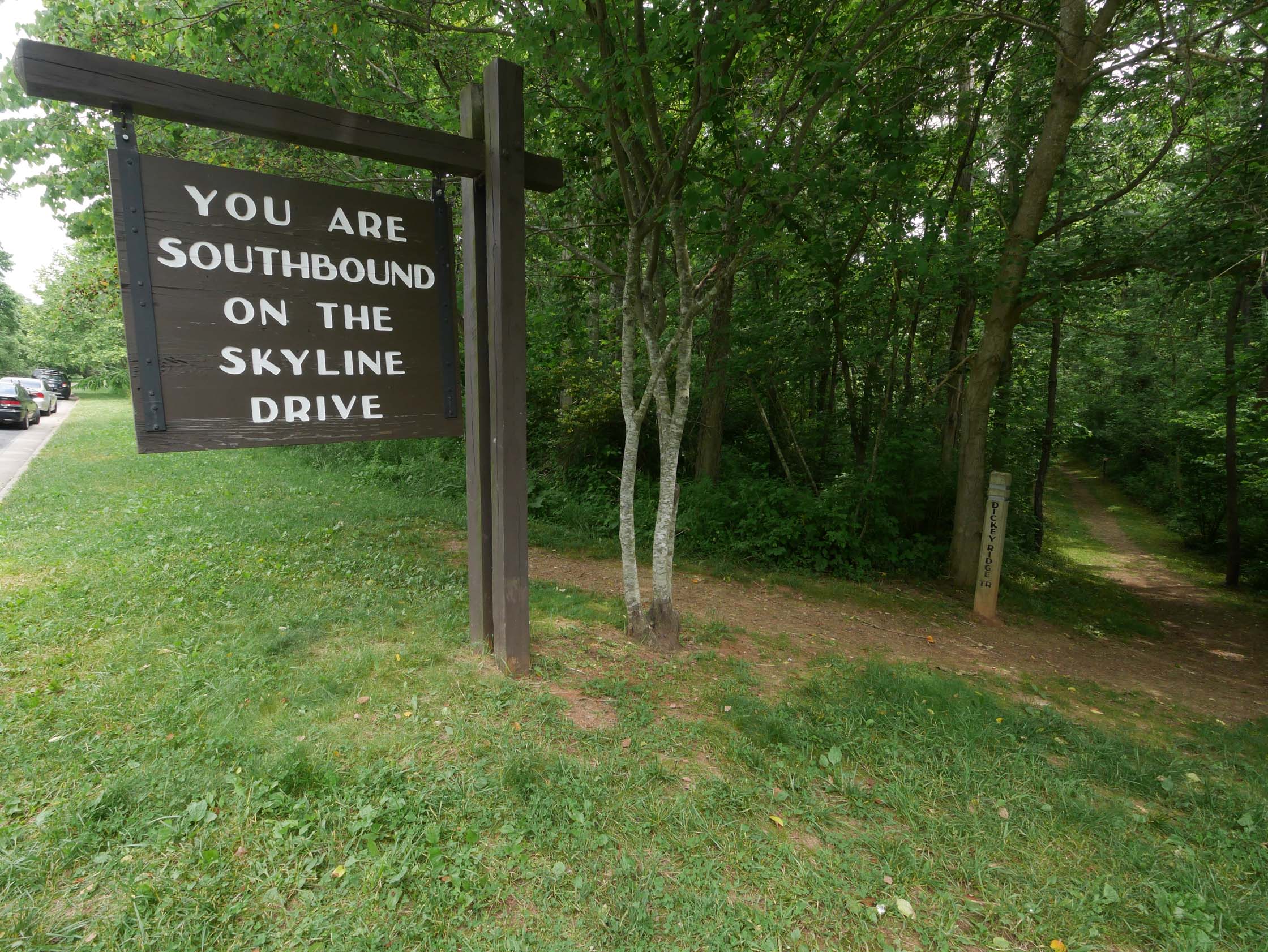
Dickey Ridge
An out-and-back (with a small loop at the top), going from the entrance to Skyline Drive at Front Royal to the Appalachian Trail near Compton Gap. The Dickey Ridge Trail is famously smooth, the grades are gentle, and trailhead is only 60 miles west of the Beltway on Interstate 66, making this is a favorite go-to run.
- Distance
-
- 19.8 miles
- Running time
-
- 3–6 hours
- Total ascent/descent
-
-
3,900 feet
200 feet/mile
-
3,900 feet
- Start/finish
- GPX file
- What to wear
Except for the loop at the turnaround, this easily navigable run is entirely on the blue-blazed Dickey Ridge Trail. If you are uncomfortable navigating the turn-around loop, just stay on the Dickey Ridge Trail until you get to the Appalachian Trail, and then turn around and retrace your steps back to the start. For shorter options, simply turn around when you like. For longer options, and a littler more climb, consider running south on the Appalachian Trail to Compton Peak.
From Dickey Hill (mile 5), there is an excellent view to the southwest down into Browntown and across to the Massanutten Mountains.
Photos

Last updated August 14, 2020
What you do is up to you, but you shouldn't rely on these directions alone; they are often not specific enough to navigate by, and may be incorrect or out of date. Review a map beforehand and carry it with you. Tell a friend where you are going and when you plan to return. Do not count on having cell phone service while on the run. The VHTRC is not responsible for your welfare on any of these runs. If you go on one of these runs and get lost, run out of water, get injured, mauled by a bear, or die, or if anything else goes wrong, it's your fault; not ours. You assume all risks here and the VHTRC assumes none at all. Legal issues aside, some of these runs are more remote than others and the VHTRC is not suggesting that you do any of these runs, unless you are prepared to accept full responsibility for yourself.